drawing, print, engraving
#
drawing
#
pen drawing
#
mechanical pen drawing
# print
#
pen illustration
#
pen sketch
#
old engraving style
#
ink line art
#
linework heavy
#
pen-ink sketch
#
thin linework
#
pen work
#
cityscape
#
italian-renaissance
#
engraving
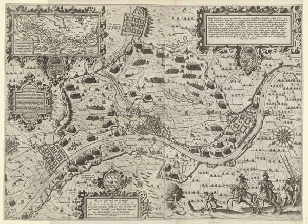
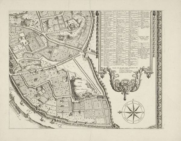
Dimensions: height 501 mm, width 615 mm
Copyright: Rijks Museum: Open Domain
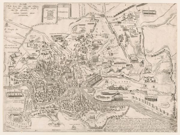
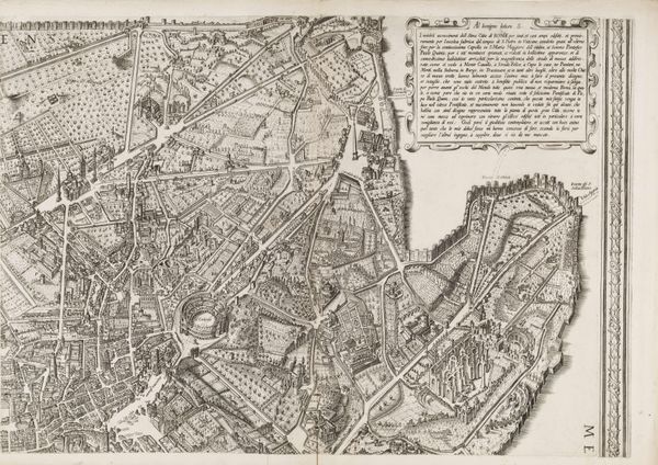
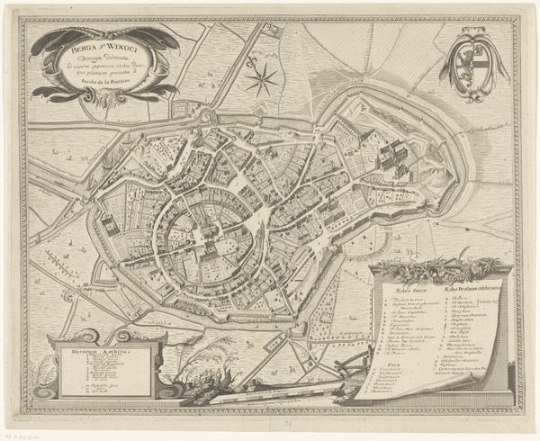
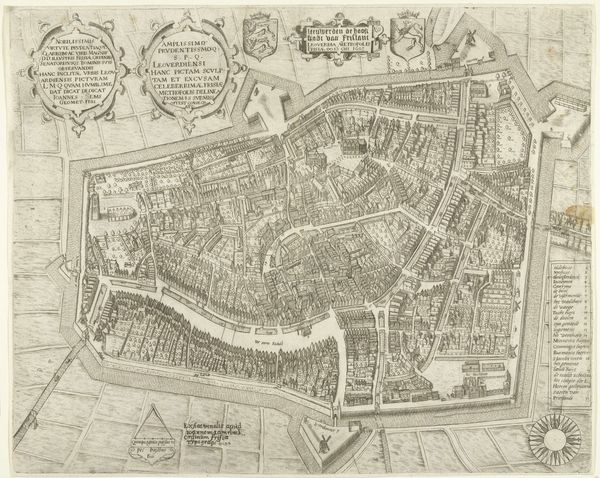
This is an unauthored map of Verona. It’s difficult to date precisely, but it belongs to a larger tradition of city mapping that flourished across Europe from the 16th century onwards. These maps are never simply neutral records of urban space. They were always produced for specific reasons, such as military planning, civic boosterism, or simply as a display of power and control. The visual codes used here, like the exaggerated height of the defensive walls, and the crests and Latin inscriptions, remind the viewer of Verona’s might. The fortifications remind us that it was part of the Republic of Venice for over 400 years until it was seized by Napoleon in 1797. The city's faithfulness is represented by the inscription 'Verona Fidelis'. This might allude to its importance for the Venetian Republic. Historians use a variety of resources, such as military archives, local histories, and studies of cartography, to place images like these into their full social and institutional context. The study of these maps helps us see how cities are not just physical spaces, but carefully constructed images serving distinct social purposes.
Comments
No comments
Be the first to comment and join the conversation on the ultimate creative platform.
More like this