drawing, print, engraving
#
drawing
#
aged paper
#
toned paper
#
baroque
# print
#
old engraving style
#
sketch book
#
hand drawn type
#
personal sketchbook
#
pen-ink sketch
#
pen work
#
sketchbook drawing
#
cityscape
#
sketchbook art
#
engraving
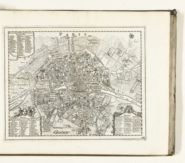
Dimensions: height 242 mm, width 300 mm
Copyright: Rijks Museum: Open Domain
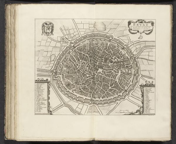
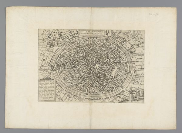
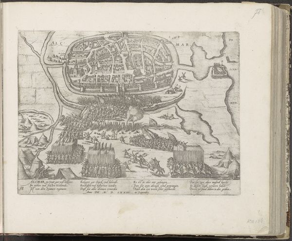
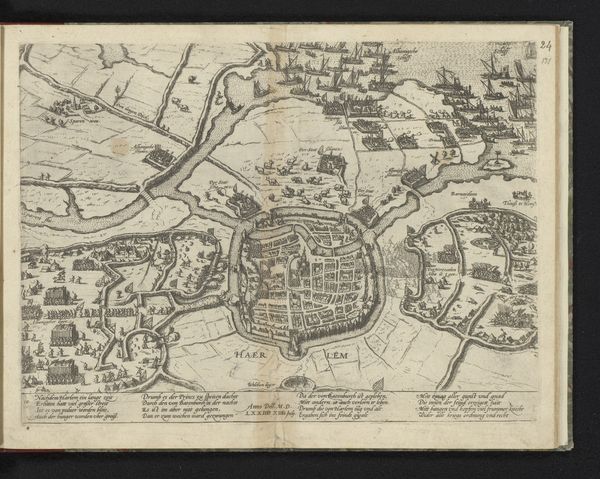
Editor: Here we have an intriguing piece: "Plattegrond van Parijs, ca. 1693-1696," an anonymous engraving from the Rijksmuseum. The detail is astonishing for such an old print. All those tiny streets meticulously laid out. What historical context shaped the creation and reception of this particular map? Curator: Well, first, consider the very act of mapping. Who commissions such a thing, and for what purpose? Is this intended for public consumption, or is it a strategic tool? In the late 17th century, Paris was the heart of royal power under Louis XIV. So a map like this reflects the ambition to exert control, both literally over the urban space, and figuratively over its representation. Editor: So the map isn't just informative, it’s also a display of power? Curator: Precisely! Maps can project authority and define territory, both physical and political. Look at the precise way the city is delineated, emphasizing fortifications and key landmarks. Who do you think this served, and how did its audience shape its style? Editor: I suppose the monarchy or wealthy merchants? That level of detail would be valuable for commerce, defense, even civic administration. So it’s function really does dictate the form. Curator: Indeed. The aesthetics, like the Baroque flourishes in the cartouches, signal the aspirations and power of the city and the culture of that time. These maps helped define how Parisians viewed their city, and how the world viewed Paris. We can think of its purpose not as mere representation, but, to use a more modern term, propaganda. Editor: Fascinating! I always thought maps were neutral, but this shows they're deeply embedded in the socio-political landscape. I’ll definitely view maps differently from now on! Curator: Excellent. Now you see the power of the past at play in something you might normally not give a second thought.
Comments
No comments
Be the first to comment and join the conversation on the ultimate creative platform.
More like this