print, engraving
#
baroque
# print
#
old engraving style
#
landscape
#
geometric
#
cityscape
#
engraving
Dimensions: height 275 mm, width 230 mm
Copyright: Rijks Museum: Open Domain
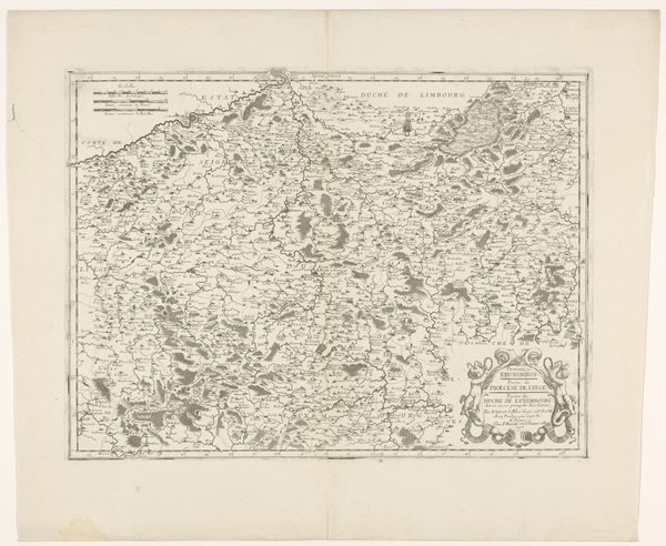
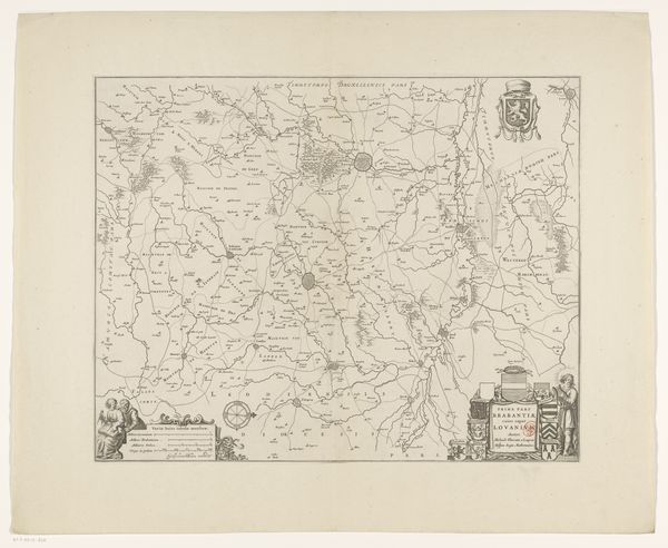
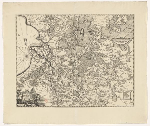
Melchior Tavernier created this map of Luxembourg with etching; its fine lines and dense patterns draw us into a world of geographical detail. The composition, tightly packed within its borders, features meticulously rendered forests and rivers, all delineated with a remarkable level of precision. The map’s structure is fascinating. The etching technique allows for a complex interplay of light and shadow, creating a sense of depth despite the two-dimensional surface. Tavernier uses this to emphasize topographical features, with patterns suggesting variations in altitude and vegetation. This reflects a period where cartography was as much about artistry and symbolic representation as about scientific accuracy. Consider how the visual language used here—the lines, the arrangement of elements—serves not only to depict a territory, but also to convey power and knowledge. The act of mapping itself is a form of control, turning the land into a legible entity. It invites us to reflect on how we perceive and represent space, and how such representations are loaded with cultural and political meaning. The map invites us to continually question and reinterpret the layers of meaning embedded within its intricate design.
Comments
No comments
Be the first to comment and join the conversation on the ultimate creative platform.
More like this