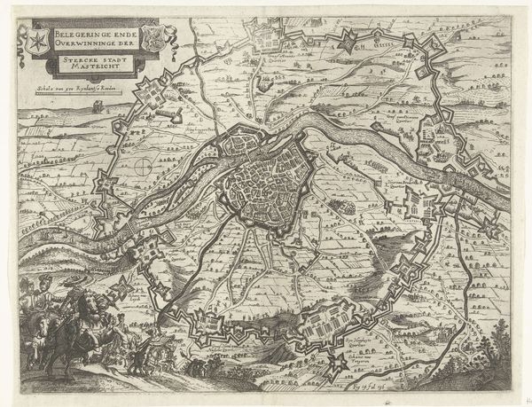
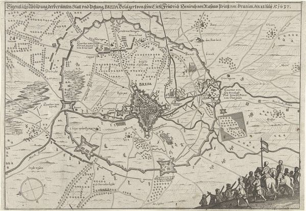
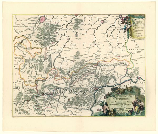
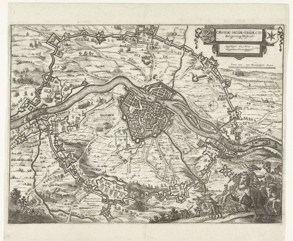
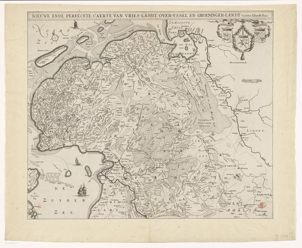
Kaart van de Nederlanden waar de Franse en Munsterse legers door heen zijn getrokken, ca. 1672-1674 1672 - 1674
0:00
0:00
anonymous
Rijksmuseum
drawing, print, ink, engraving
#
drawing
#
pen drawing
#
dutch-golden-age
#
mechanical pen drawing
# print
#
pen illustration
#
pen sketch
#
ink line art
#
linework heavy
#
ink
#
pen-ink sketch
#
thin linework
#
pen work
#
engraving
#
intricate and detailed
Dimensions: height 415 mm, width 550 mm
Copyright: Rijks Museum: Open Domain
This map of the Netherlands, made around 1672-1674 by an anonymous artist, is rendered in ink on paper. At first glance, the intricate network of lines and symbols creates a dense, almost overwhelming visual field, but the lines are organized in such a way that they are quite legible. The composition directs our gaze across the landscape through a series of interconnected routes that weave through towns and bodies of water, reflecting the disruptive movements of the French and Münster armies. The lines, in this context, are not just geographical markers but also indicators of power and control, tracing the paths of conflict across the Dutch Republic. The strategic placement of toponyms and emblems further complicates the map's semiotic system, transforming it into a battlefield of representation. The map challenges the notion of a fixed, objective reality, inviting viewers to question how power dynamics shape our understanding of space and history.
Comments
No comments
Be the first to comment and join the conversation on the ultimate creative platform.
More like this