print, etching, engraving
dutch-golden-age
etching
landscape
etching
engraving
Dimensions: height 161 mm, width 227 mm
Copyright: Rijks Museum: Open Domain
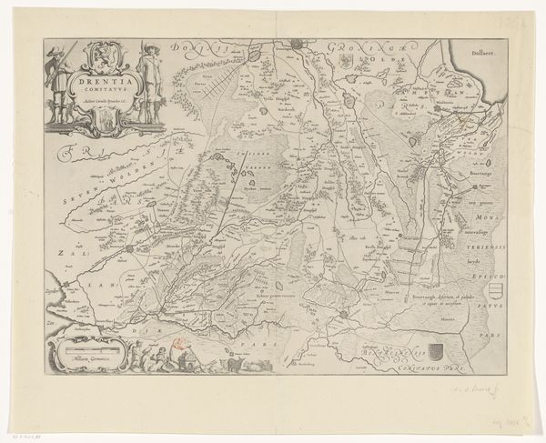
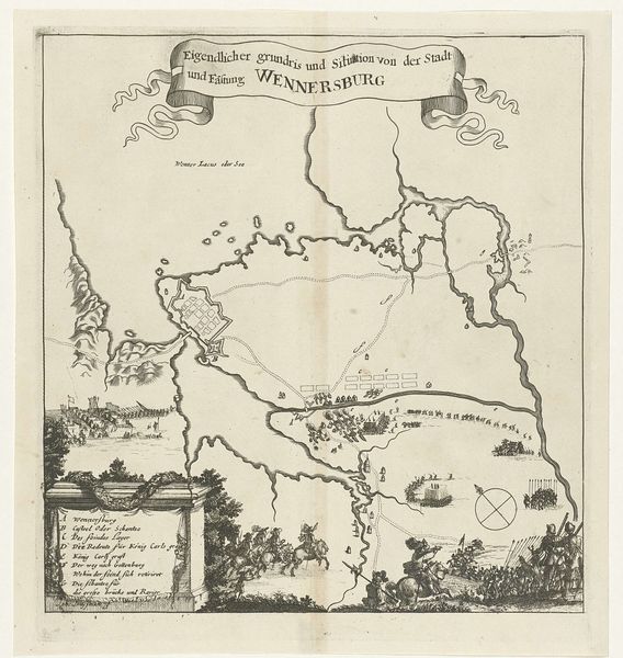
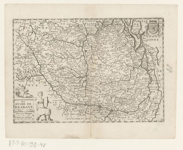
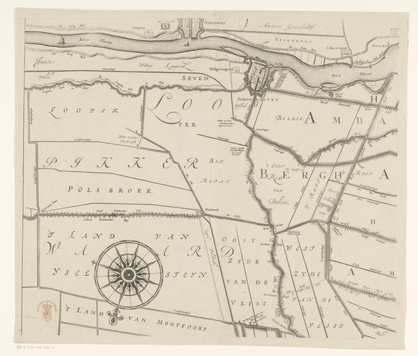
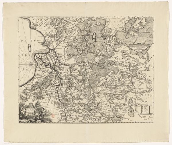
This is an undated map of the Veluwe region in the Netherlands, made by an anonymous artist, and held at the Rijksmuseum. What does it mean to map a territory? Well, maps are never neutral. They are always made from a particular point of view, with a particular purpose in mind. We can start to understand the ideas and concepts in this artwork by recognizing that it both reflects and reinforces existing structures of power. The Veluwe's geography, with its forests, heathlands, and sandy ridges, has historically shaped settlement and agriculture. By mapping this area, the image gives the territory a new kind of order. In the 17th century, the Dutch Republic was a major economic and political power, and mapmaking was a key tool for trade, exploration, and military strategy. Cartography was also a part of civic administration, and an expression of cultural identity. By consulting historical archives, we can understand this map not just as a representation of space, but as a cultural artifact embedded in a specific historical context.
Comments
No comments
Be the first to comment and join the conversation on the ultimate creative platform.
More like this