print, engraving
#
baroque
# print
#
cityscape
#
history-painting
#
engraving
Dimensions: height 277 mm, width 251 mm
Copyright: Rijks Museum: Open Domain
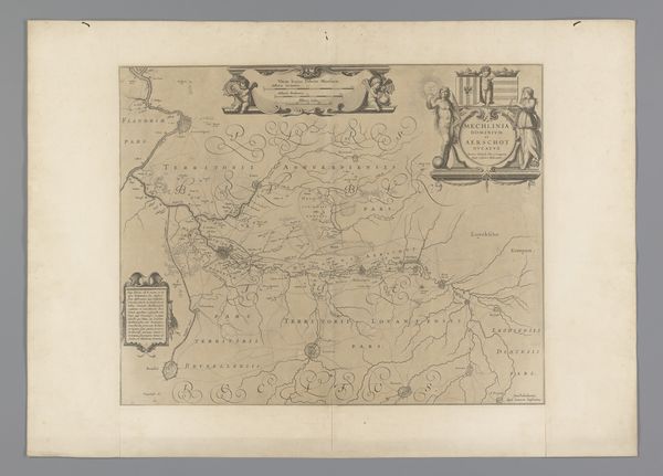
This map of the city and fortress of Vänersborg in Sweden was made by Johannes Huysman as an engraving. Maps like this one served a crucial public role in the early modern period. As well as providing practical geographical information, they were potent symbols of state power, demonstrating a kingdom’s capacity to survey, record, and ultimately control territory. Huysman’s image creates meaning through visual codes like the walled fortress which mark the boundaries of the city. Meanwhile, the figures engaging in battle signify the assertion of military and political control. The map emphasizes geographical features and the disposition of military forces, reflecting Sweden's strategic concerns. The image invites us to consider questions about Swedish political ambitions, and military power, especially in relation to the Baltic sea. Historians can examine the map’s representation of space, the projection of political authority, and its role in shaping a sense of national identity. Such resources shed light on the interplay between cartography, power, and national identity in early modern Sweden.
Comments
No comments
Be the first to comment and join the conversation on the ultimate creative platform.
More like this