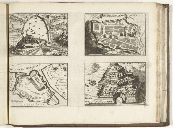
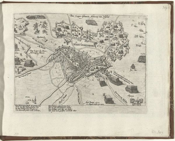
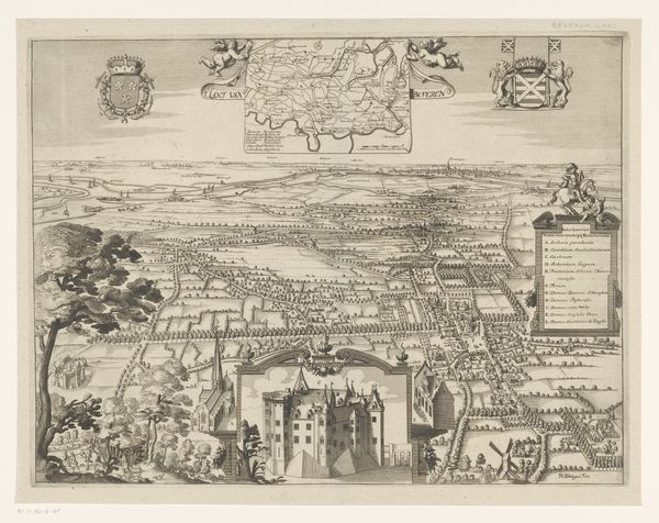
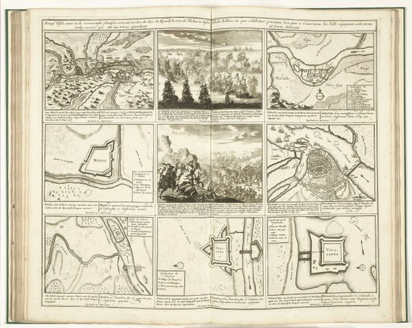
Grote kaart van Antwerpen met de mislukte aanslag in 1605 1569 - 1605
0:00
0:00
pietervanderheyden
Rijksmuseum
print, engraving
#
dutch-golden-age
# print
#
pen sketch
#
landscape
#
cityscape
#
engraving
Dimensions: height 700 mm, width 960 mm
Copyright: Rijks Museum: Open Domain
Editor: So, this is Pieter van der Heyden’s "Grote kaart van Antwerpen met de mislukte aanslag in 1605," made between 1569 and 1605. It's an engraved print depicting Antwerp. It’s incredibly detailed; I’m curious what exactly catches your eye in this image? Curator: Beyond the detailed cartography, I see a powerful commentary on the turbulent socio-political landscape of the time. Antwerp, during this period, was a focal point of conflict between the Dutch Republic and Spanish forces. The failed attack mentioned in the title highlights the constant struggle for power and religious dominance, wouldn't you agree? Editor: I can see that in the visual language. So, the map isn't just about geographical accuracy? Curator: Exactly. Think about the power dynamics embedded in mapping. Who gets to represent space, and for what purpose? Maps are rarely neutral; they can reinforce control, define boundaries, and even justify violence. This image isn’t simply showing Antwerp, it is performing a political act by illustrating a conflict. Notice how different groups and buildings have varying levels of details – what message do you think is sent by prioritizing the detailed buildings and ships in the harbor, compared to other buildings. Editor: That makes sense! It gives such a sense of spatial relationships in the harbor, but that could be an aesthetic or artistic choice? Curator: Perhaps. But art seldom exists in a vacuum. Considering Antwerp's prominence in global trade, who benefited from this representation, and who might have been marginalized or excluded? Can you infer anything by how it depicts labor or diverse communities? What stories are absent? These are all crucial questions when examining visual representations from this period. Editor: That gives me a lot to think about! Thanks! I will look at old maps with new eyes from now on. Curator: Likewise, this makes us rethink historical documents as not just informative resources but reflections of complex historical moments that have social and political messages imbedded in them.
Comments
No comments
Be the first to comment and join the conversation on the ultimate creative platform.
More like this