drawing, ink, pen
#
drawing
#
baroque
#
pen sketch
#
old engraving style
#
landscape
#
ink
#
geometric
#
pen-ink sketch
#
pen work
#
pen
#
cityscape
Dimensions: height 243 mm, width 350 mm
Copyright: Rijks Museum: Open Domain
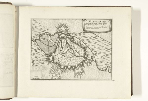
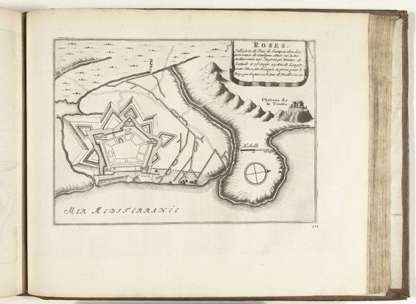
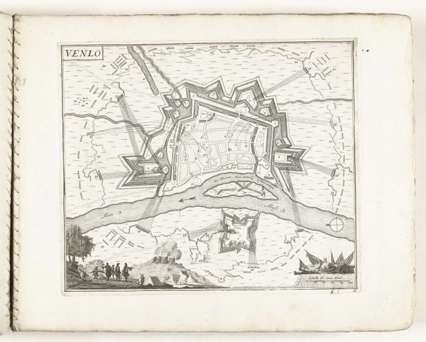
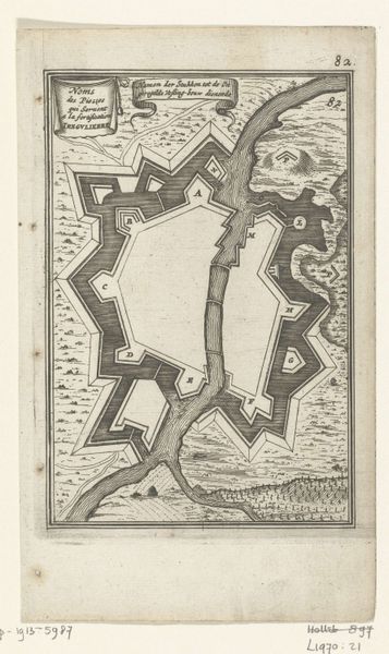
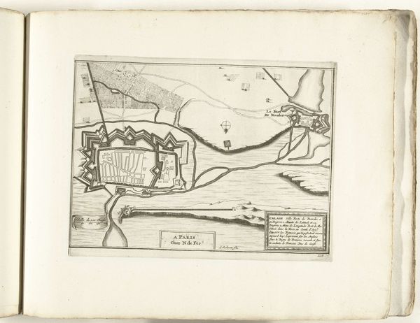
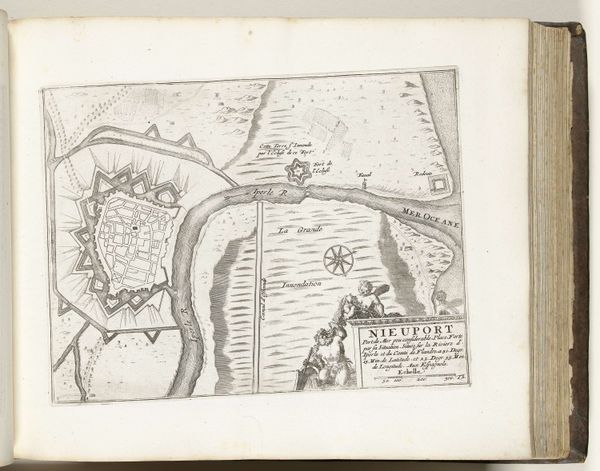
This is an etching from around 1702, showing a plan of Hulst, a fortified city in the Netherlands. Maps like this weren't just about geography, they were powerful political tools. Hulst was strategically important, a border city caught between Dutch and Spanish control. Notice the elaborate fortifications: star-shaped walls, moats, and bastions. These weren't just defensive measures; they were symbols of power and control, carefully designed to project an image of strength. The map itself reinforces this, emphasizing the city’s defenses and strategic layout. The Dutch Golden Age was a time of intense mapmaking, driven by trade, exploration, and military ambitions. Institutions like the Dutch East India Company commissioned maps to chart new territories and consolidate their power. This map of Hulst, though seemingly neutral, participates in that culture, reminding viewers of Dutch military prowess and territorial claims. To understand this image fully, we can look at military history, cartography, and Dutch political history. Art is always embedded in its time, reflecting the ambitions and anxieties of the society that produced it.
Comments
No comments
Be the first to comment and join the conversation on the ultimate creative platform.
More like this