print, paper, engraving
#
baroque
# print
#
pen sketch
#
old engraving style
#
paper
#
geometric
#
line
#
cityscape
#
engraving
Dimensions: height 205 mm, width 270 mm
Copyright: Rijks Museum: Open Domain
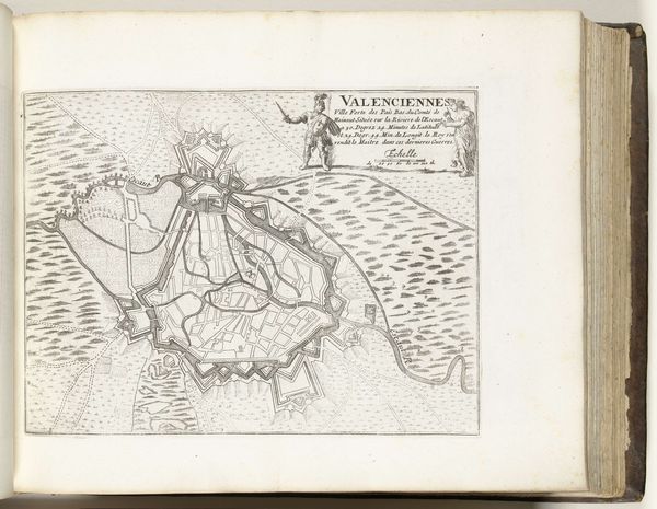
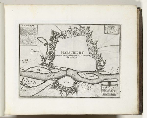
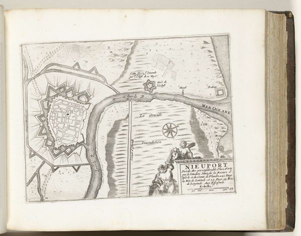
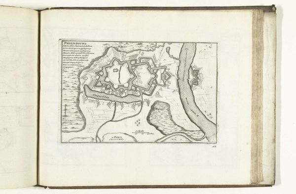
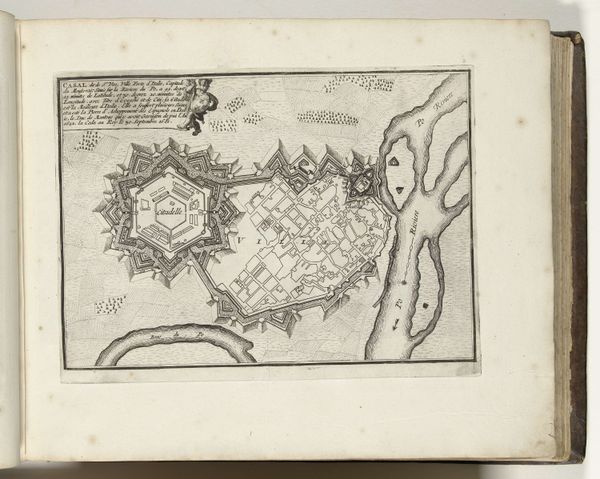
This is an anonymous map of Valenciennes made in 1726. During this time, maps were more than just geographical tools; they were instruments of power, reflecting and reinforcing social hierarchies. Consider the act of mapping itself. Who gets to define the space? Whose perspectives are prioritized? This map presents Valenciennes through a Western European lens, emphasizing military fortifications and strategic positioning. In a world where cartography was dominated by European powers, maps like these played a role in colonial projects and geopolitical strategies. Look at the detailed rendering of the city's defenses versus the relatively undetailed surrounding areas. The map doesn't just show a place; it asserts dominance and control. While it lacks the personal narratives of the people who lived there, it invites us to reflect on the relationship between power, knowledge, and representation.
Comments
No comments
Be the first to comment and join the conversation on the ultimate creative platform.
More like this