drawing, print, etching, ink
#
drawing
#
baroque
#
pen drawing
# print
#
etching
#
ink
#
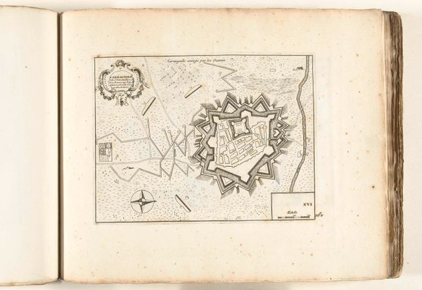
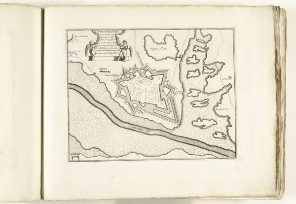
cityscape
Dimensions: height 212 mm, width 275 mm
Copyright: Rijks Museum: Open Domain
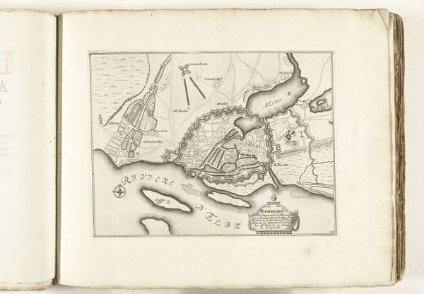
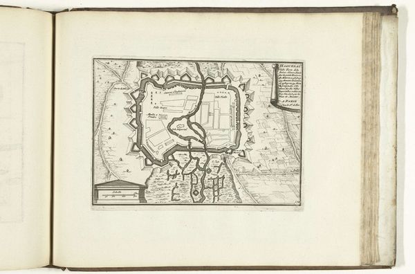
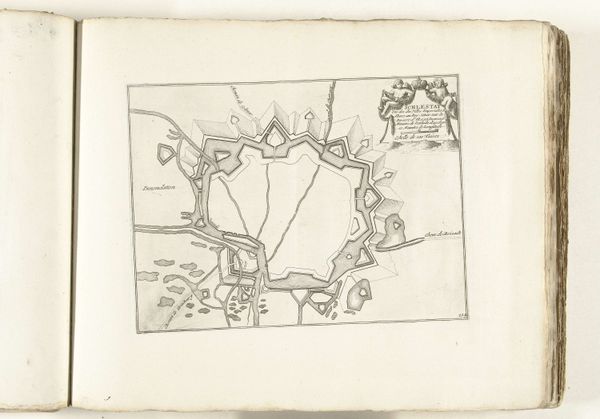
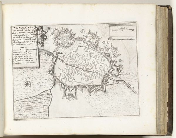
Editor: We're looking at "Rede van Toulon," made around 1702, attributed to an anonymous artist. It’s an etching and ink drawing showing a detailed cityscape. It feels very…official, like a document. What can you tell me about it? Curator: This piece offers a fascinating glimpse into the political and strategic importance of Toulon in the early 18th century. Consider what it means to create such a detailed map – it's about power, about controlling narratives and spaces. Maps weren’t just geographical tools; they were instruments of empire and instruments of trade. Editor: So, the level of detail isn't just artistic, but purposeful? Curator: Precisely. The cityscape meticulously records military installations, harbors, and shipping lanes. This isn't just a picturesque view; it's a strategic overview designed to inform, persuade, and perhaps even intimidate. Think about who would have commissioned and consumed such an image. What social or political groups are most likely? Editor: Someone with strategic interests in Toulon’s port, maybe? A naval commander or a merchant… Curator: Exactly! Or even someone involved in colonial administration. And notice the visual language – the clear delineation of space, the use of perspective to assert dominance. These elements were often employed to communicate specific ideologies and reinforce hierarchies. Editor: I didn't think about it that way. It feels less like a drawing now, and more like a statement. Curator: It is a statement, absolutely! And it tells us so much about the public role of art in shaping perceptions of power and place during the Baroque period. It also makes you consider, what other hidden agendas do artworks contain? Editor: It definitely puts a new lens on the image for me. I’ll never see a cityscape quite the same way again.
Comments
No comments
Be the first to comment and join the conversation on the ultimate creative platform.
More like this