drawing, paper, ink
#
drawing
#
landscape
#
paper
#
ink
#
geometric
#
romanticism
#
history-painting
Dimensions: height 540 mm, width 760 mm
Copyright: Rijks Museum: Open Domain
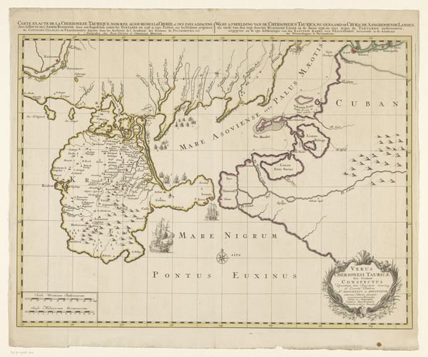
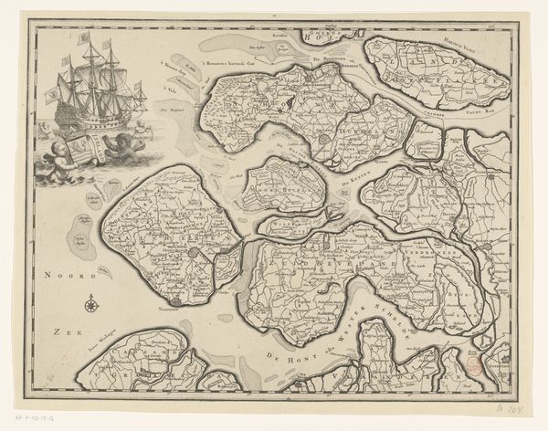
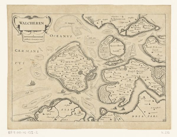
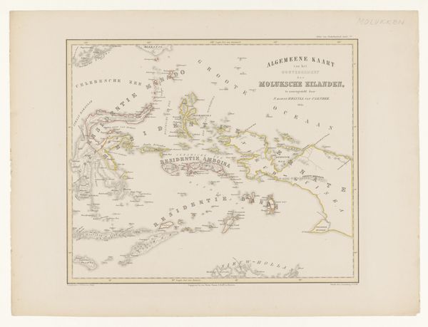
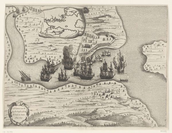
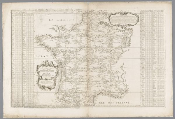
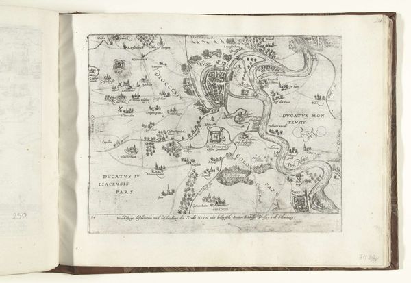
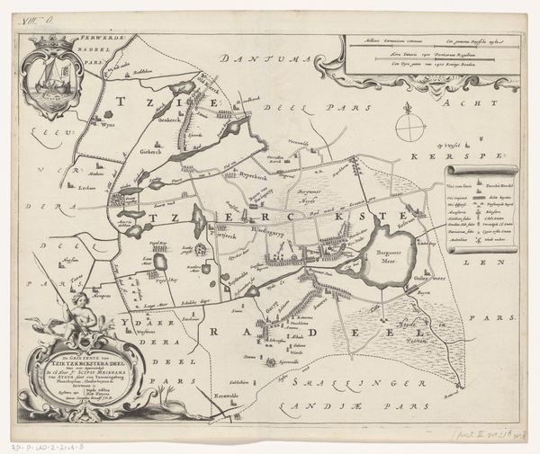
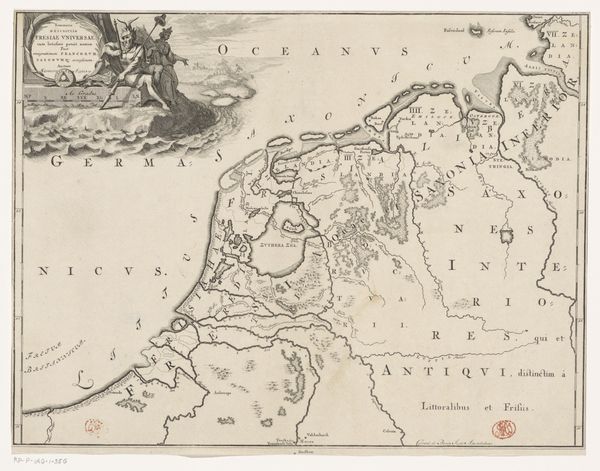
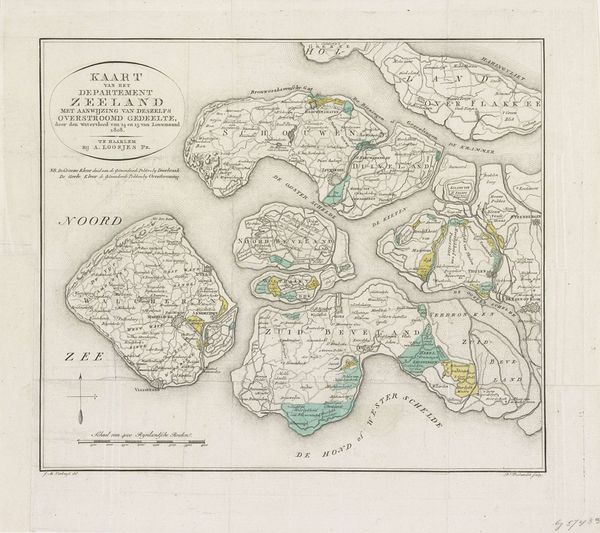
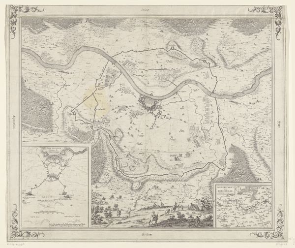
This "Topografische kaart van een niet bestaand gebied," or topographical map of a non-existent area, was made by H. Reding using ink on paper. Though created with traditional drawing materials, the map transcends mere representation. It's a fictional geography meticulously rendered with the precision of a cartographer. Notice the delicate hatching used to define the mountain ranges, shorelines, and forested areas. The artist employs conventional techniques of topographical representation to conjure an entirely imaginary place, and it invites us to consider the role of maps in shaping our understanding of the world, and the power of imagination to create new ones. The work involved in this process, combined with the familiar aesthetic of real-world maps, imbues this fictitious geography with an aura of authenticity. In doing so, it blurs the line between objective documentation and subjective invention. Ultimately, the map invites us to consider the interplay between reality and imagination, and to question the boundaries of our own understanding of the world.
Comments
No comments
Be the first to comment and join the conversation on the ultimate creative platform.
