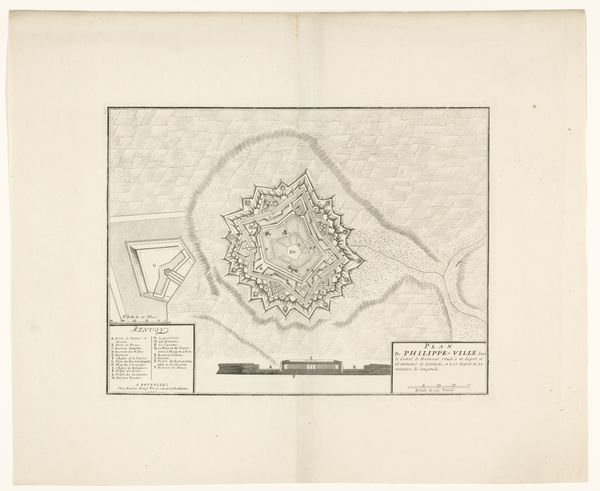
print, engraving
#
baroque
# print
#
cityscape
#
engraving
Dimensions: height 165 mm, width 221 mm, height 520 mm, width 415 mm
Copyright: Rijks Museum: Open Domain
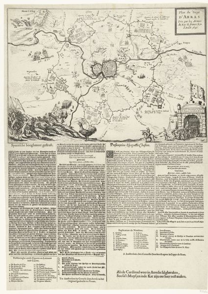
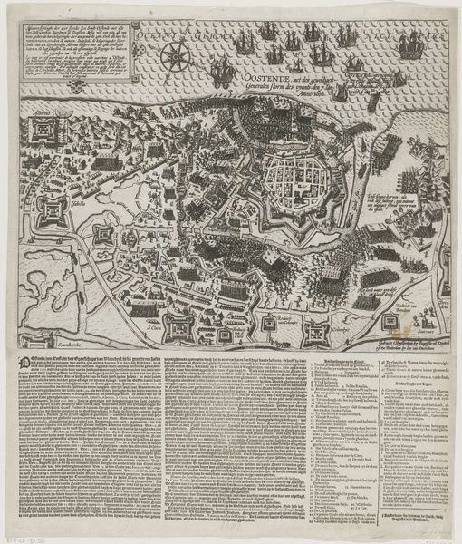
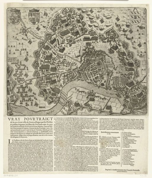
This undated anonymous engraving offers a plan of the city of Doornik, accompanied by a written description. It invites us to consider the layers of identity and power inscribed in the very architecture of a city. The map itself, with its clear depiction of fortifications, speaks to the strategic importance of Doornik, now known as Tournai, a city that has been a crossroads of European powers. As you examine the layout, think about how the design of cities historically reflects and enforces social hierarchies. Who had access to what spaces, and how did the city's structure shape daily life? Consider the detailed text surrounding the map. It presents a narrative of the city, framing our understanding through a particular lens. Whose stories are being told here, and whose are being left out? In what way does this map reflect the cultural, social, and political values of its time?
Comments
No comments
Be the first to comment and join the conversation on the ultimate creative platform.
More like this