print, etching
#
dutch-golden-age
# print
#
etching
#
landscape
#
etching
Dimensions: height 455 mm, width 385 mm
Copyright: Rijks Museum: Open Domain
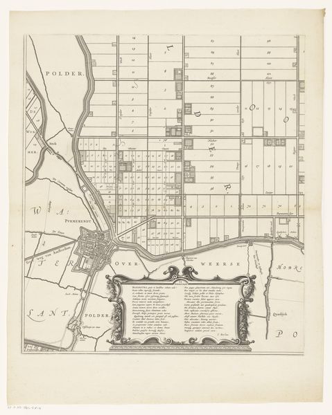
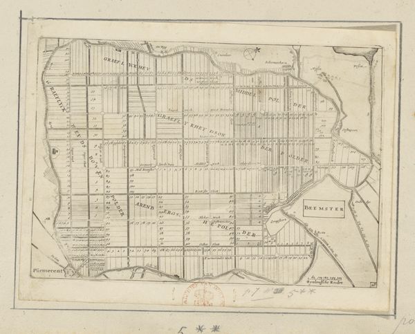
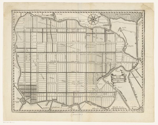
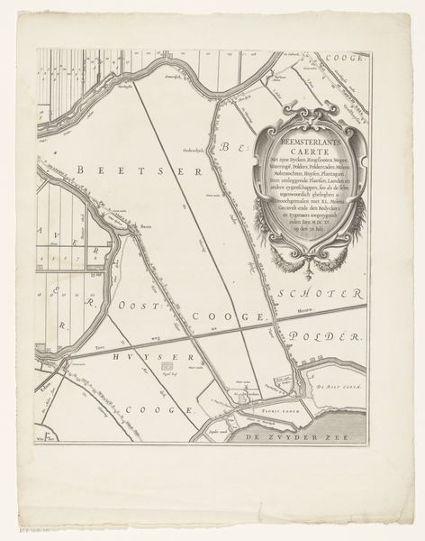
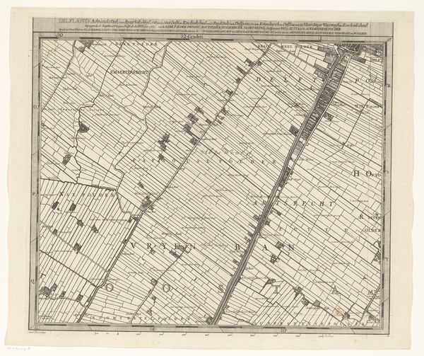
Daniël van Breen etched this map of the Beemster sometime in the 17th century. The grid, a dominant symbol here, represents not just land division but also humanity’s attempt to impose order on nature. This motif of imposed order appears across epochs, from Roman land surveys to Renaissance city planning. Think of the Roman "centuriatio," where land was divided into squares, reflecting a desire to control and rationalize space. Over time, the grid evolves, symbolizing different ambitions: from agricultural organization to urban planning, each reflecting a distinct cultural drive. Here, in the Beemster map, the grid is almost a psychological projection, a collective desire to tame the Dutch landscape, drained and reshaped. It’s an assertion of human will, a desire to master the unpredictable forces of nature through rational design. This interplay between control and the untamed evokes a deep, subconscious engagement, mirroring our continuous negotiation with the world around us.
Comments
No comments
Be the first to comment and join the conversation on the ultimate creative platform.
More like this