drawing, print, paper
#
drawing
#
dutch-golden-age
# print
#
landscape
#
paper
Dimensions: height 903 mm, width 632 mm
Copyright: Rijks Museum: Open Domain
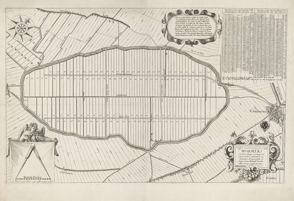
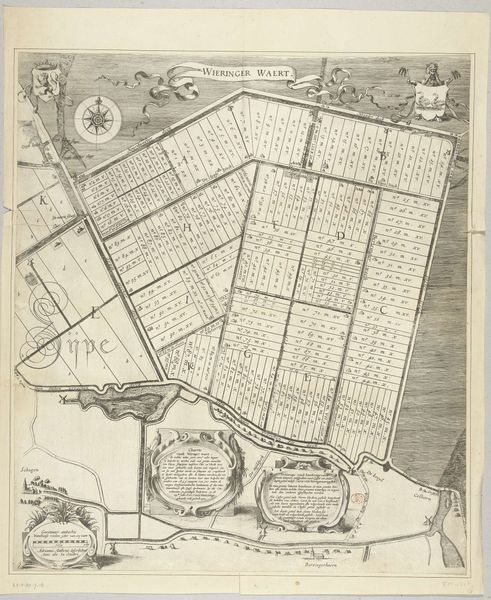
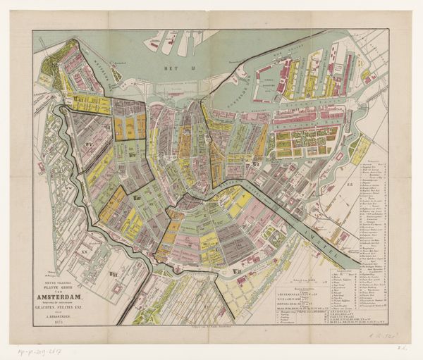
This is T. Koning’s map of the reclaimed Noordplaspolder, made using engraving. Here, water management isn't just an engineering feat, but a visual testament to the Dutch Republic's ambition in the face of nature. Land reclamation projects in the Netherlands were often undertaken for economic reasons to create new farmland, but they also had political and social implications. This map is not just about geography; it's a reflection of the Dutch Republic's values and aspirations. The careful arrangement of the plots and detailed registers is a reflection of an ordered society where land is valued as a source of wealth. By examining land reclamation documents, local histories, and economic data, we can learn more about the interplay between human ambition, environmental change, and societal progress that this map encapsulates. This map reminds us that art is always embedded in a social and institutional context.
Comments
No comments
Be the first to comment and join the conversation on the ultimate creative platform.
More like this