painting, watercolor
#
water colours
#
baroque
#
painting
#
landscape
#
watercolor
#
cityscape
#
watercolor
Dimensions: height 185 mm, width 282 mm, height 532 mm, width 317 mm
Copyright: Rijks Museum: Open Domain
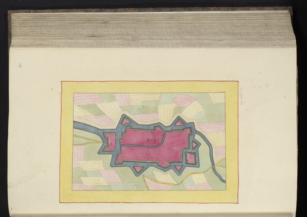
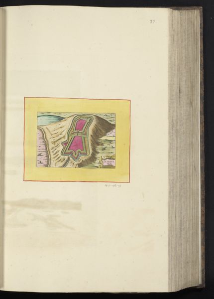
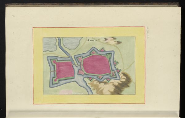
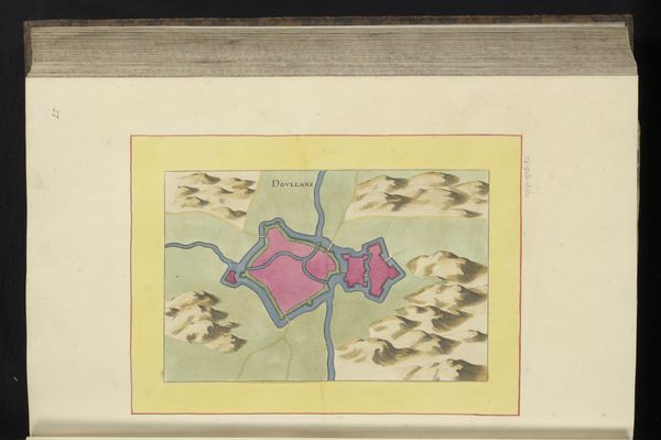
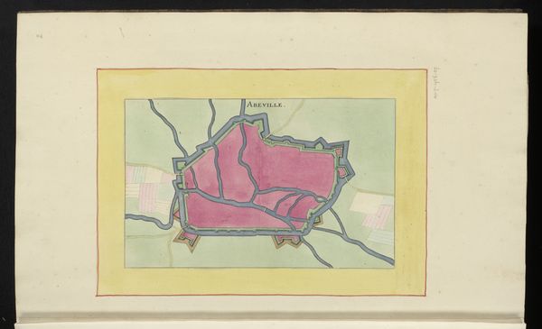
This is an anonymous, undated drawing of Calais, made with pen and watercolour. In it, the town of Calais is depicted as a fortified structure. The town’s shape and the surrounding waterways and landscape are all rendered in striking detail. This image provides insight into the military and political concerns of its time, particularly the strategic importance of Calais as a port city. It reflects the intense competition between European powers for control of key territories and trade routes. As such, we can view this not simply as a record but as a contribution to the institutional history of European empires. For the historian, maps like this are invaluable resources. They offer clues about urban planning, military strategy, and geographical knowledge. They remind us that art is always shaped by the social conditions in which it is made, and can offer us critical perspectives on that time.
Comments
No comments
Be the first to comment and join the conversation on the ultimate creative platform.
More like this