Dimensions: height 440 mm, width 566 mm
Copyright: Rijks Museum: Open Domain
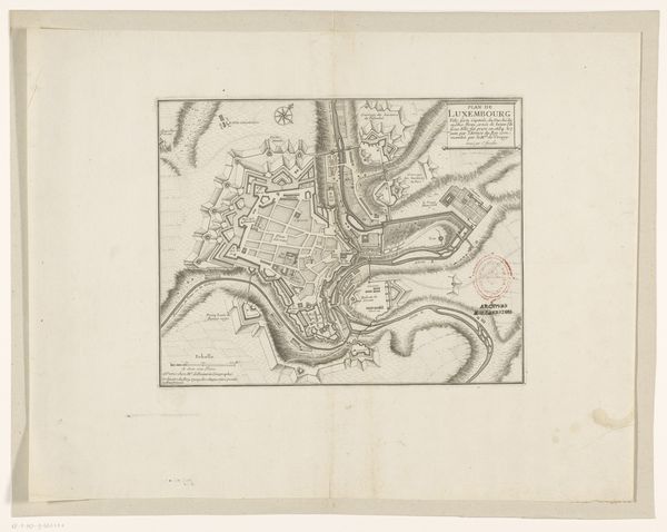
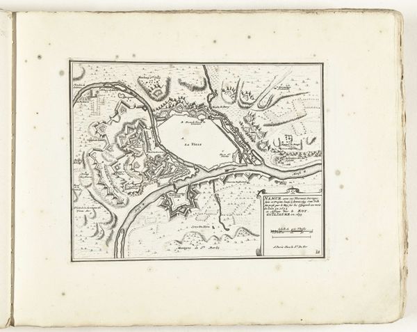
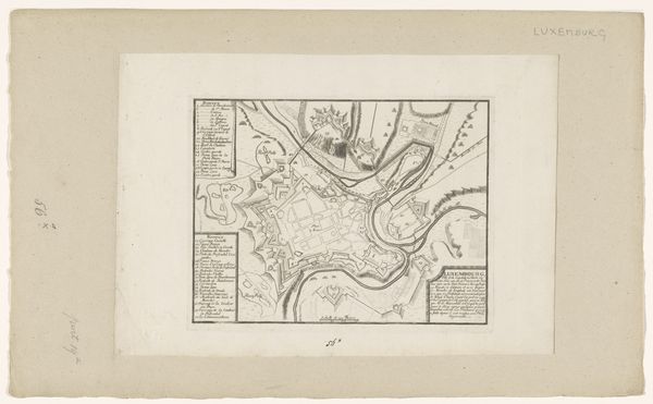
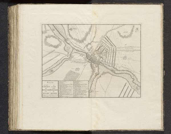
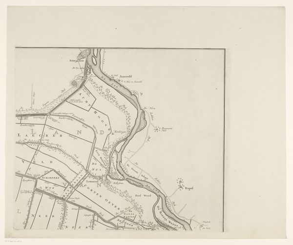
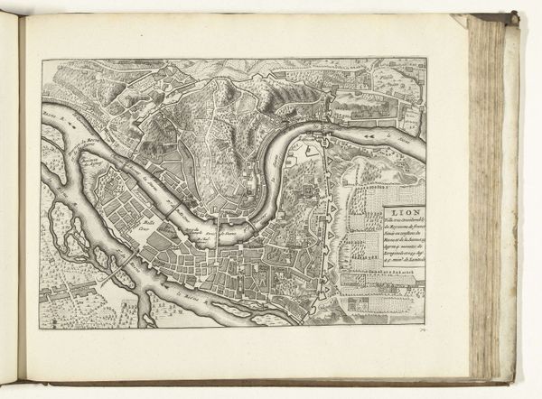
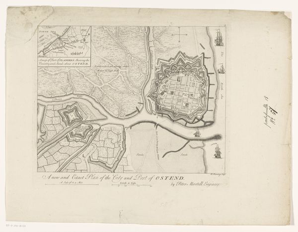
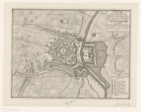
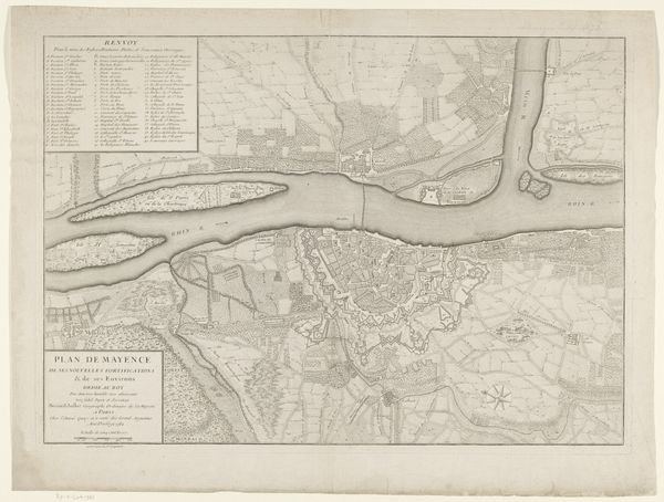
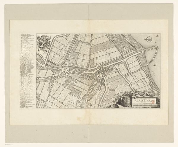
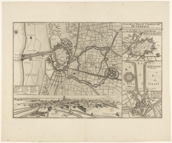
Curator: Today, we're looking at an etching titled "Plattegrond van Koblenz en Fort Ehrenbreitstein," an anonymous work dating back to 1781, currently held in the Rijksmuseum collection. Editor: What strikes me immediately is the sheer density of detail; it's almost overwhelmingly intricate, wouldn't you agree? There is a tension between its informational intent and aesthetic. Curator: Indeed. It functions as both art and document. Notice how the lines, precise and clean, map out the city’s layout alongside the imposing Fort Ehrenbreitstein. The composition is ordered, almost geometric. The etching uses Baroque principles in its rendering of light and shadow, especially around the fort and the riverbanks. It has that particular Baroque tension. Editor: And the historical significance here is palpable. As a cityscape, this plan offers a snapshot of Koblenz at a pivotal moment, shaped by both geographical advantage and strategic military positioning. Its role would have been less decorative and more about shaping policy or at least informing specific groups of power players, don't you think? Curator: Absolutely, a detailed depiction like this provides a window into 18th-century urban planning and military strategy, revealing much about the socio-political context of the time. The choice of etching—a medium capable of producing multiple copies—indicates a desire for broad dissemination among relevant audiences. Editor: Yet, even with its practicality, consider the perspective offered, the level of artistic execution in what ostensibly aims to be informational. Scale and proportion would suggest certain ideological leanings: the Fort as overlord and the grid as ordered urbanity. Curator: It's true, those choices reveal how power and knowledge were intertwined in that period. And in the aesthetic, with careful detailing to underscore authority and structure. Editor: Ultimately, beyond its utility as a historical document, this work invites us to consider the relationships between power, knowledge, and representation in the 18th century. Curator: Indeed. By examining both its artistic and historical context, we understand how cityscapes operate within broader networks of social and political significance.
Comments
No comments
Be the first to comment and join the conversation on the ultimate creative platform.
