drawing, paper, ink, architecture
#
drawing
#
etching
#
paper
#
ink
#
geometric
#
line
#
cityscape
#
architecture
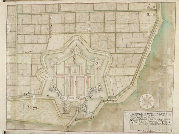
Dimensions: height 451 mm, width 570 mm
Copyright: Rijks Museum: Open Domain
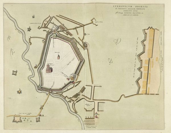
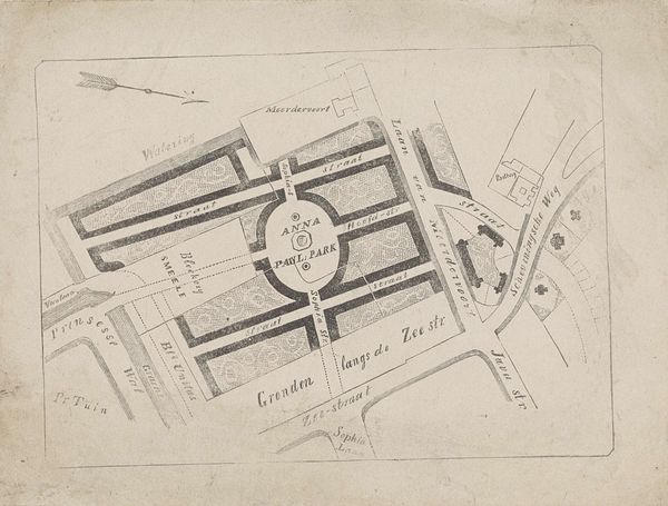
Samuel Du Ry de Champdoré made this map of Willemstad with pen and grey ink, around 1701-1715. This plan gives us insight into the period's concerns about military defense, as the star-shaped fortifications suggest. Made during the Dutch Golden Age, this map reflects the economic prosperity and the strategic considerations of the time. The social conditions of the early 18th century, with its constant power struggles between European nations, strongly influenced the design and the importance of such a detailed plan. The map also reflects the institutional history of military engineering and urban planning, highlighting the blend of aesthetics and strategic design that characterized the era. The rigid structure of the map, while reflecting military concerns, may also subtly comment on the social structures of the time, hinting at a desire for order and control. To understand the map better, one could research the military strategies of the time, the history of Willemstad, and the life and career of Samuel Du Ry de Champdoré.
Comments
No comments
Be the first to comment and join the conversation on the ultimate creative platform.
More like this