graphic-art, print, engraving
#
graphic-art
#
dutch-golden-age
# print
#
engraving
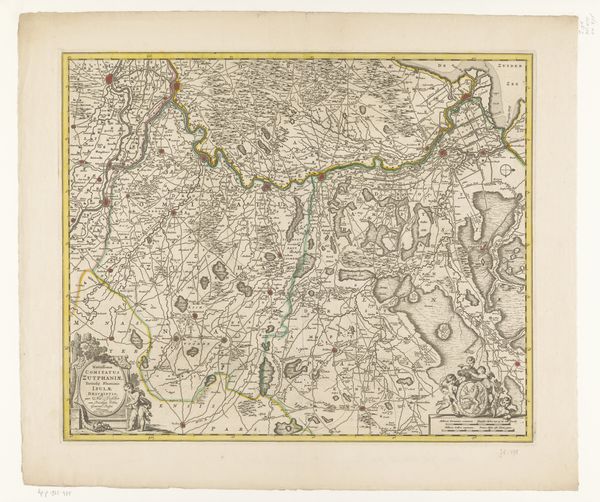
Dimensions: height 468 mm, width 570 mm
Copyright: Rijks Museum: Open Domain
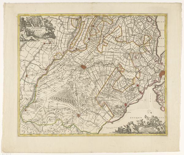
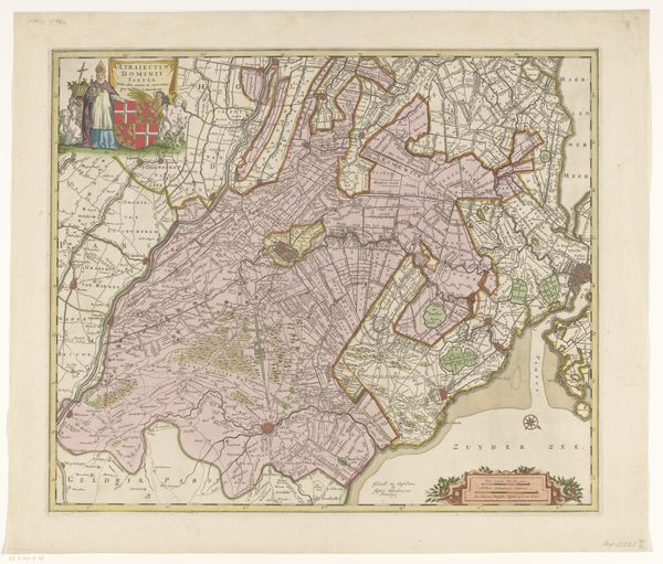
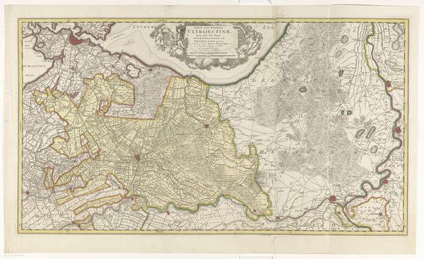
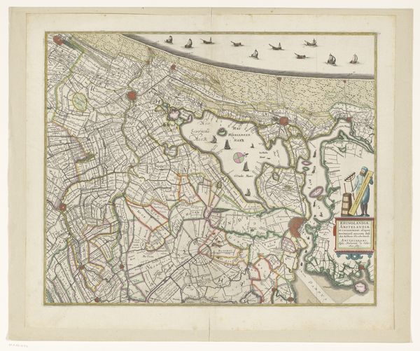
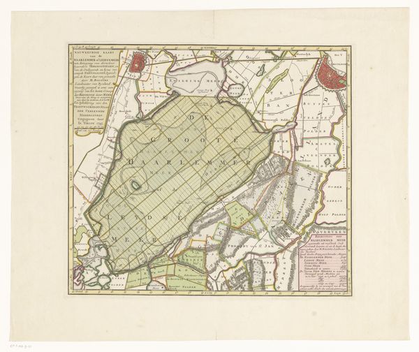
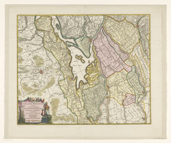
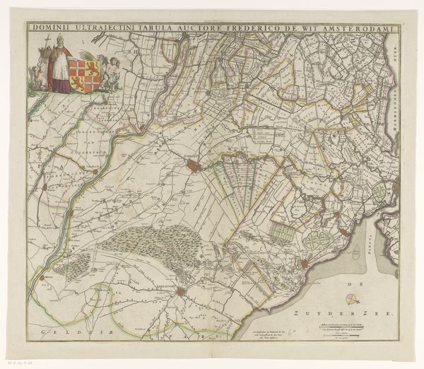
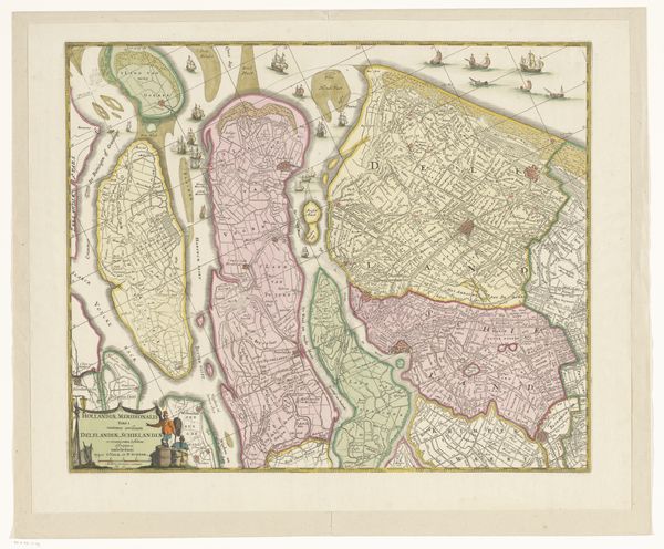
Curator: At first glance, it strikes me as a meticulously crafted web of lines and subtle hues. There's an almost ethereal quality to the green expanses. Editor: Today, we're looking at "Kaart van de provincie Utrecht," or "Map of the Province of Utrecht." Created sometime between 1655 and 1774 by an anonymous artist, this graphic artwork resides here at the Rijksmuseum, a remarkable product of the Dutch Golden Age. It employs both print and engraving techniques. Curator: The delicate rendering of the waterways and land divisions is really arresting. It offers a sophisticated balance, the negative spaces are almost as important as what is depicted. Editor: Indeed, maps of this era served multiple purposes beyond mere navigation. They played a role in establishing property boundaries and conveying political power, showcasing the Dutch mastery over their lands, especially their impressive efforts in land reclamation. Curator: Look at the ornate cartouches in each of the top left and bottom right of the image, practically teeming with mythological figures and emblems. They frame the actual map and operate almost like a secondary commentary to the whole image. Editor: Those decorative elements are so critical to the history of cartography. They are indicative of the cultural values attached to geography and representation. Note, too, the figures surveying and measuring—almost allegorical, demonstrating human agency and ingenuity. Curator: The scale intrigues me. Consider the precision required to translate that geographic reality onto a single sheet. What did that act of condensing landscape mean for spatial relationships? Editor: It speaks to an age of exploration and burgeoning scientific method—but equally to the rise of a mercantile class eager to visualize and therefore control their economic domain. Curator: I’m drawn to consider this artwork again focusing primarily on its structural composition and line work. Editor: And, by looking to the map’s function within the Dutch Golden Age, we understand it served as more than geographic tool, also playing roles in politics and economics. Thank you for illuminating how a historical artifact like this resonates through design.
Comments
No comments
Be the first to comment and join the conversation on the ultimate creative platform.
More like this