drawing, print, paper, ink
#
drawing
# print
#
landscape
#
paper
#
ink
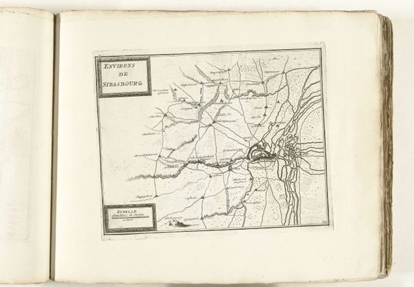
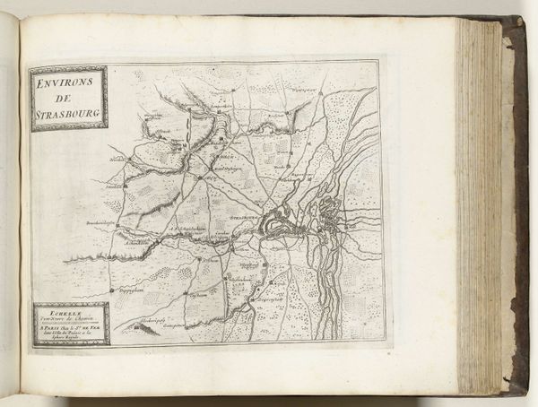
Dimensions: height 228 mm, width 280 mm
Copyright: Rijks Museum: Open Domain
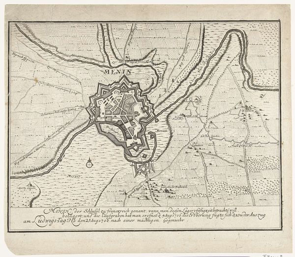
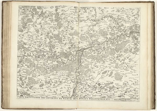
This map of Strasbourg and its surroundings was meticulously engraved in 1726 by an anonymous artist. It’s an early example of mass communication, made possible through the repeatable medium of printmaking. Consider the labor involved: each line on this map was carefully incised into a metal plate, likely copper, using specialized tools. The ink would then be applied, the surface wiped clean, and the image transferred to paper under great pressure. This demanded precision and skill, a tradition distinct from painting yet requiring equally refined artistry. The social significance here is clear. Maps like this one weren’t just about geography; they were tools of power. They aided in navigation, military strategy, and the administration of territories. The act of mapping itself was an assertion of control. So, when you look at this seemingly simple print, remember that it represents not only a place but also a complex interplay of labor, skill, and social context, blurring the lines between craft and art.
Comments
No comments
Be the first to comment and join the conversation on the ultimate creative platform.
More like this