print, paper, engraving
# print
#
paper
#
cityscape
#
history-painting
#
engraving
Dimensions: height 171 mm, width 218 mm
Copyright: Rijks Museum: Open Domain
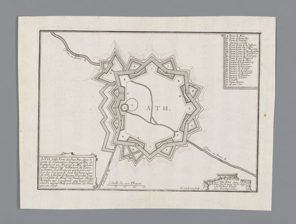
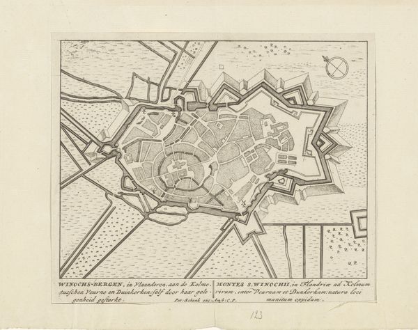
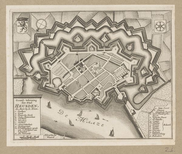
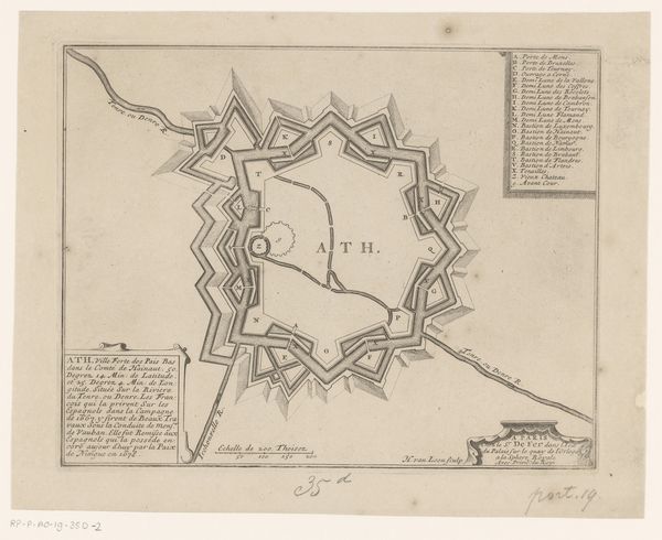
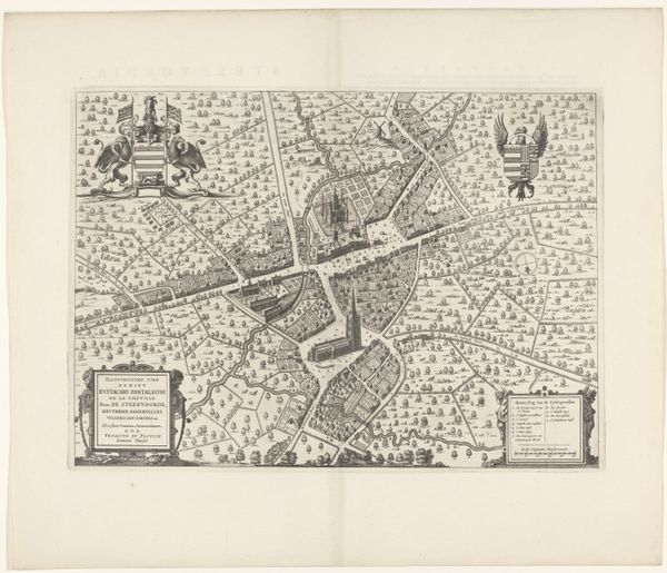
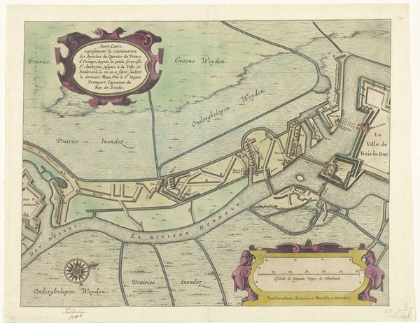
This print, depicting the fortified harbor of Hellevoetsluis, was made in 1745 by Isaak Tirion in Amsterdam. It's an engraving, meaning the image was incised into a metal plate, likely copper, and then printed. The precision of the lines speaks to the skill of the engraver. Note the texture created to render areas of land and water: this gives the map depth and visual interest, but also demanded a high degree of labor to produce. Consider the social context: maps like these were crucial for military and commercial purposes. They represented power and control over territory and trade routes. The act of mapping itself was a form of claiming space, turning it into a commodity that could be bought, sold, and defended. The creation of this map shows how much work was involved in shaping and controlling the world, and of how the tools of craft could be applied to the ends of empire.
Comments
No comments
Be the first to comment and join the conversation on the ultimate creative platform.
More like this