print, engraving
#
baroque
#
dutch-golden-age
# print
#
old engraving style
#
cityscape
#
history-painting
#
engraving
Dimensions: height 198 mm, width 250 mm
Copyright: Rijks Museum: Open Domain
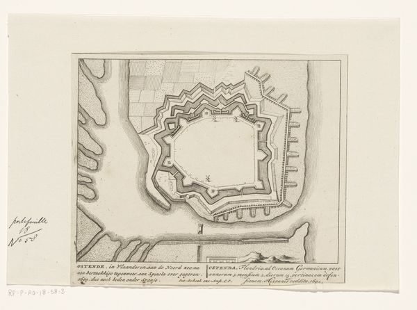
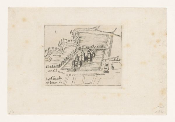
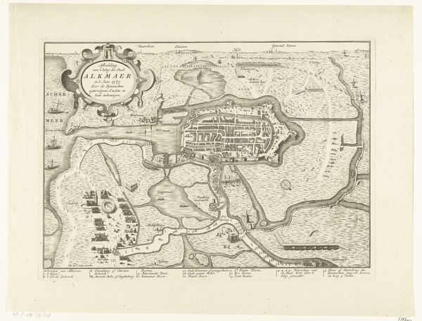
Claude Gournay made this map of Ostend using ink on paper. A medium like this, especially when used for maps and technical drawings, can often be overlooked as a means of artistic expression. But think about the qualities of the material itself. The ink, likely iron gall, gives the lines their crisp, permanent quality, allowing the map to be reproduced and consulted for generations. The paper supports the delicate ink lines and, in its own way, testifies to the value placed on accurate and detailed records. Look at the precision of the lines defining the fortifications, the careful rendering of the coastline. These were not casual sketches, but measured drawings intended for practical use in military strategy and urban planning. The act of mapping itself, using tools like compasses and rulers, imbued the image with significance. Gournay was not just documenting; he was shaping how Ostend was understood and controlled. This map challenges the idea that artistry is separate from utility, reminding us that even the most functional objects can reflect skilled craft and a deep engagement with materials.
Comments
No comments
Be the first to comment and join the conversation on the ultimate creative platform.
More like this