drawing, engraving, architecture
#
architectural sketch
#
drawing
#
baroque
#
old engraving style
#
architectural section drawing
#
architectural drawing
#
architecture drawing
#
architectural proposal
#
cityscape
#
engraving
#
architecture
Dimensions: height 402 mm, width 534 mm
Copyright: Rijks Museum: Open Domain
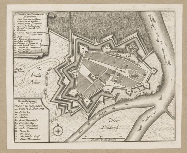
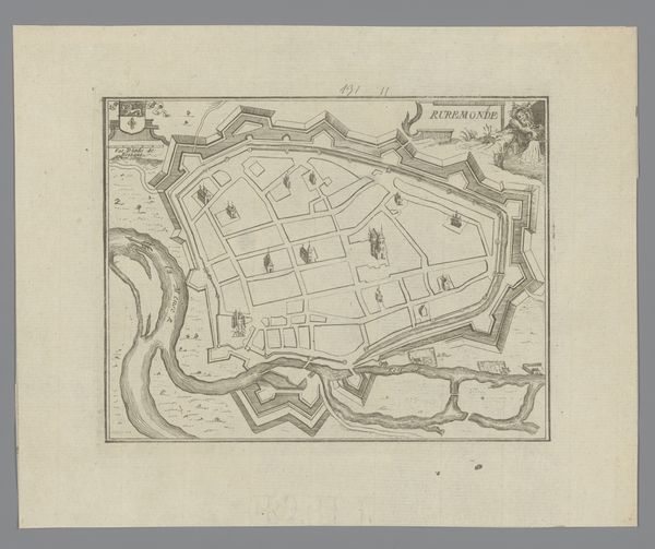
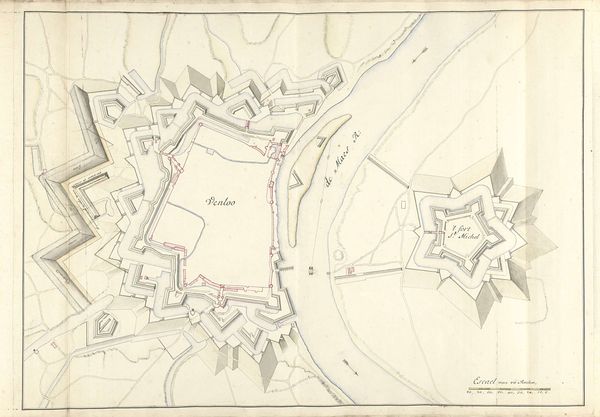
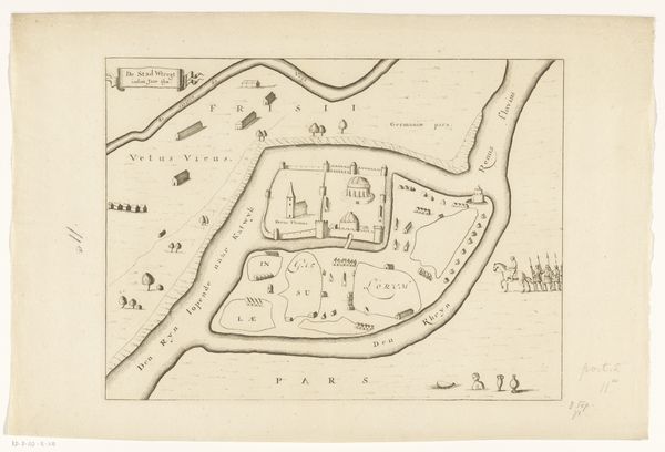
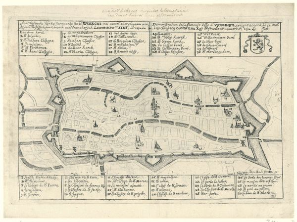
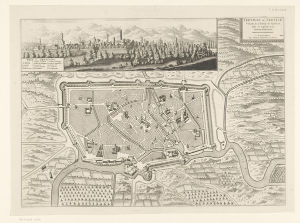
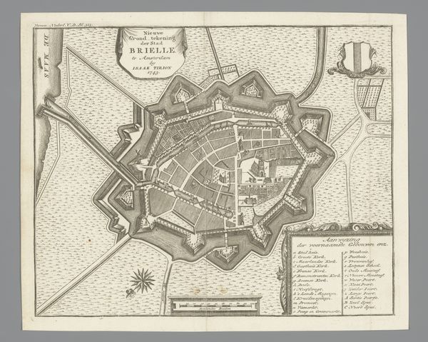
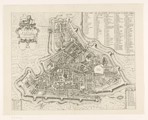
This is an undated map of Crema by an anonymous artist. Note how the composition is divided into distinct zones. The walled city sits in the center, surrounded by open fields. The river to the right anchors the entire form. The map's structure and spatial relationships reveal how cities were conceived not just as living spaces but as strategic entities. Lines define the city's layout and fortifications, creating a sense of order. The map functions as a form of control, visually codifying space and power. Consider the semiotics at play: the map presents a system of signs where each line, shape, and symbol conveys specific information. This reflects the Enlightenment's impulse to categorize and rationalize the world through visual means.
Comments
No comments
Be the first to comment and join the conversation on the ultimate creative platform.
More like this