drawing, print, ink, engraving
#
drawing
#
narrative-art
#
dutch-golden-age
# print
#
landscape
#
ink
#
geometric
#
cityscape
#
engraving
Dimensions: height 200 mm, width 302 mm
Copyright: Rijks Museum: Open Domain
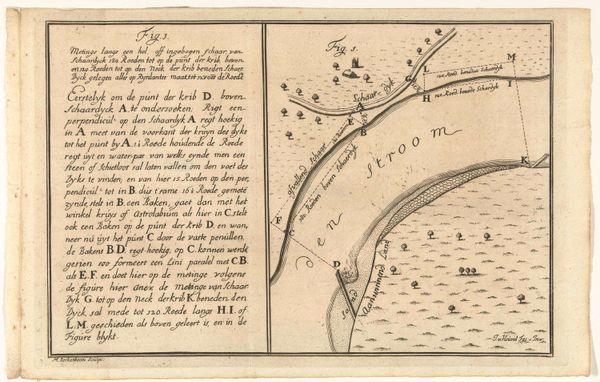
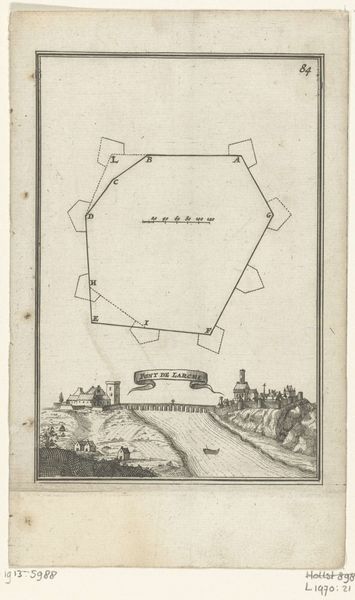
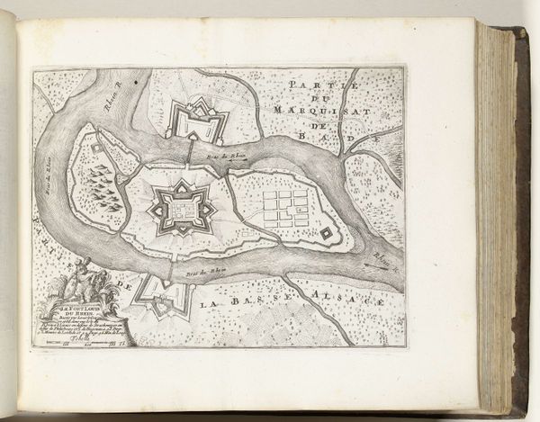
Curator: Looking at this drawing, I am struck by the precision of the lines, almost austere in its purpose. Editor: This is a plan of a bay on the coastline, its title "Plattegrond van een baai in de kustlijn (met letters)." It was made sometime between 1650 and 1715. The work is attributed to Martinus Berkenboom, crafted with ink and engraving. Curator: "The Lord's ways". This terminology evokes a distinct power dynamic. Were these waterways pivotal for trade, specifically for certain elite families during the Dutch Golden Age? How might control over these routes influenced local governance and the lives of everyday inhabitants? Editor: Consider the names applied to the farmlands here: Lucas, Thys, Seyn… even "Mars". These aren’t just labels but represent the intersection of biblical reference, commonplace surnames, and ancient deities. Each invokes a certain cultural memory. Do these divisions imply individual ownership or perhaps a communal agricultural system? Curator: Perhaps, and considering the cityscape present, how did that organization extend into urban spaces, and to what extent did gendered labor play a role in either the agricultural fields or city economy? This asks critical questions about land ownership, socio-economic stratification, and gender roles within the 17th-century Dutch society. Editor: I’m particularly drawn to the presence of little sailboats on the water. It emphasizes not only transportation, but also the idea of journeys and exchanges across water, possibly even colonial expansions. Are we to see these symbolic boats in every body of water, every time we glance at it? What would the archetypal image of the boat symbolize to different people at the time of the artwork's conception? Curator: Your perspective urges us to consider the symbolic weight an artwork holds. For me, the image is an illustration of systems: governance, landscape management and possibly social hierarchy. This piece compels us to consider who defines these routes, literally and metaphorically. Editor: For me, it echoes, how history is constantly being recorded, remembered, and reimagined through symbols—objects carrying the echoes of their origins across centuries.
Comments
No comments
Be the first to comment and join the conversation on the ultimate creative platform.
More like this