print, engraving
#
baroque
# print
#
15_18th-century
#
cityscape
#
engraving
Dimensions: height 238 mm, width 274 mm
Copyright: Rijks Museum: Open Domain
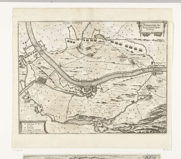
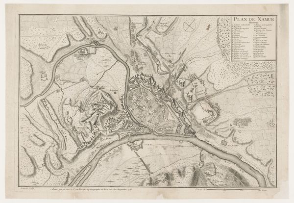
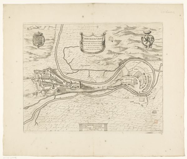
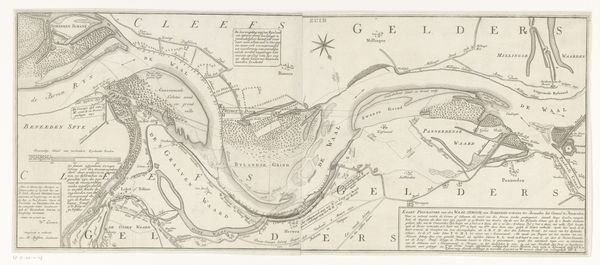
Curator: This is Abraham Allard's "Plattegrond van Luik," an engraving offering a bird's-eye view of Liège sometime between 1702 and 1733. Editor: My first thought? Imposing. It feels less like a helpful guide and more like a declaration of power, all those fortifications... they dominate the space. Curator: That's typical of Baroque cartography. A city wasn't just represented; it was idealized, emphasizing its strength. The complex network of walls and bastions would have been immediately recognizable as symbols of security and prestige. They speak of Liège’s complex and vulnerable situation within larger conflicts. Editor: Exactly. It reads as a deliberate projection of control. Looking at this from a modern perspective, it prompts questions about whose security was prioritized and at whose expense. Those intricate defense systems aren’t just impressive feats of engineering, but stark reminders of conflict and control, dividing populations along constructed barriers. Curator: It is interesting to read the inscriptions and compare those from Dutch to French, and how these refer to the authorities in place. You mention modern perspective; yet, back then, these visual displays of might were reassuring for citizens—a constant, if stylized, promise of protection. Also, there were so many layers of territorial allegiance across that land... Editor: I can see that—certainly, that assurance was powerful for the inhabitants under pressure during warfare. But maps aren't neutral. By emphasizing the military structures, it inherently downplays the everyday lives of the people within the city, erasing, for example, marginalized groups or contested spaces. Even just looking at where resources went: to defence instead of public well-being. Curator: The visual language indeed reinforces certain hierarchies. Perhaps if we zoom into this section here, with the waterways so deliberately rendered, we can find more nuanced implications. After all, water routes equal access and, as such, control. It reflects economic considerations alongside purely militaristic ones. Editor: I agree the details offer layers for interpretation. Thanks to this conversation, my first impression of imposing architecture is further contextualized through history and purpose of construction. Curator: And I'll be pondering the cultural memory embedded in these strategic lines. Visual languages survive to convey particular worldviews.
Comments
No comments
Be the first to comment and join the conversation on the ultimate creative platform.
More like this