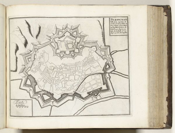
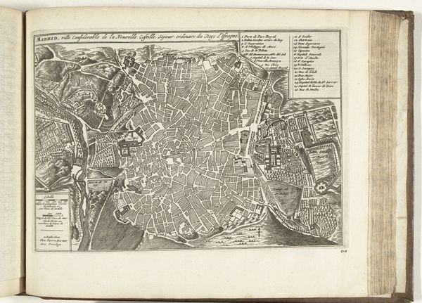
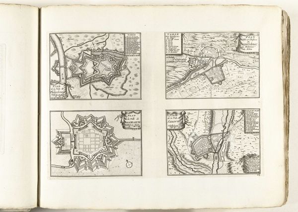
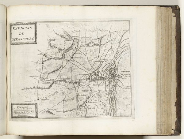
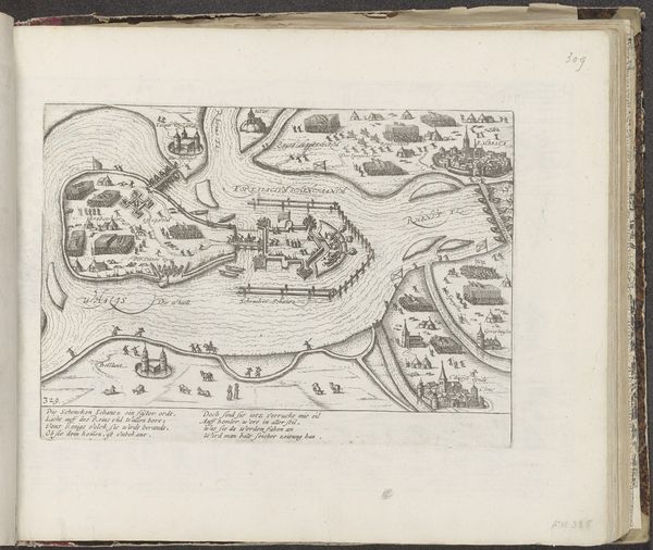
Plattegronden van de citadel van Perpignan en van andere plaatsen in Languedoc-Roussillon, ca. 1702 1702 - 1703
0:00
0:00
anonymous
Rijksmuseum
#
comic strip sketch
#
aged paper
#
sketch book
#
personal sketchbook
#
sketchwork
#
pen-ink sketch
#
pen work
#
sketchbook drawing
#
storyboard and sketchbook work
#
sketchbook art
Dimensions: height 247 mm, width 343 mm
Copyright: Rijks Museum: Open Domain
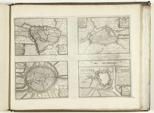
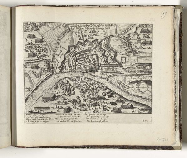
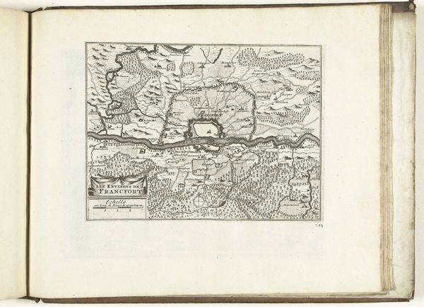
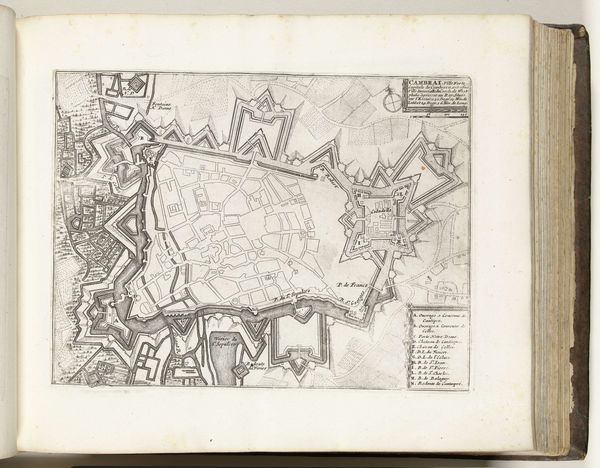
This composite map from around 1702, by an anonymous artist, presents a series of views in Languedoc-Roussillon, each rendered with meticulous detail. The composition is segmented into distinct quadrants, each acting as a window onto a precisely charted domain. Notice the linear exactitude used to delineate each territory, employing fine lines to produce detailed architectural and geographical forms. The print is dominated by the interplay between these structured lines and the informational texts that accompany each map, serving both an aesthetic and functional role. These visual structures imply a world seen through a rational, almost scientific lens, indicative of the period's interest in order and control over space. The stark contrast between the black ink and the white paper invites us to consider how cartography itself is a form of representation, shaping our understanding of the territories they depict. Ultimately, this print uses its formal clarity to translate landscapes into legible data, reflecting a historical impulse to codify and comprehend the world through carefully structured visual systems.
Comments
No comments
Be the first to comment and join the conversation on the ultimate creative platform.
More like this