print, engraving
baroque
cityscape
engraving
Dimensions: height 470 mm, width 376 mm
Copyright: Rijks Museum: Open Domain
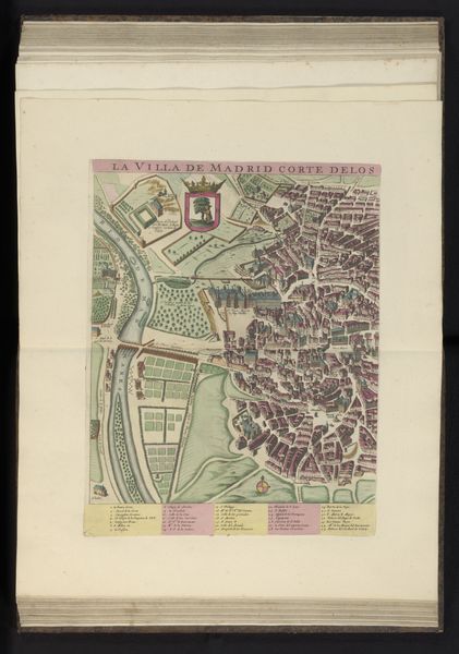
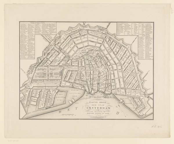
This is the right half of an anonymous map of Madrid, printed on paper, and likely made to be bound into an atlas. The city plan is rendered with impressive detail, its street grid and individual buildings carefully delineated with ink, before color was added with stencils. The use of printmaking suggests an ambition to disseminate this image widely. The map’s value lies not only in its accuracy, but also in its artistic qualities. Notice the decorative elements, such as the trumpeting figure at the top, and the elaborate cartouche at the bottom. These would have elevated the map from a mere tool to a desirable object in its own right. Printmaking was, from its inception, closely tied to capitalism and the growth of a middle class with disposable income. Maps like this one speak to that history. They remind us that even seemingly utilitarian objects can be imbued with aesthetic and cultural significance, and produced with artistry.
Comments
No comments
Be the first to comment and join the conversation on the ultimate creative platform.