drawing, print, ink, engraving
#
drawing
# print
#
11_renaissance
#
ink
#
geometric
#
history-painting
#
engraving
Dimensions: height 368 mm, width 478 mm
Copyright: Rijks Museum: Open Domain
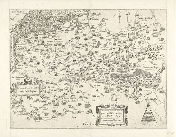
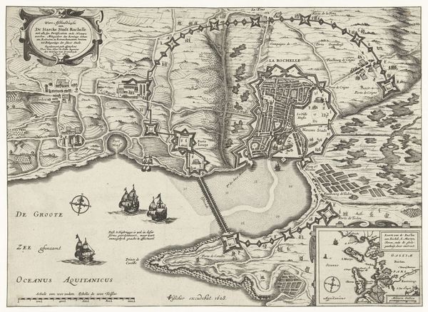
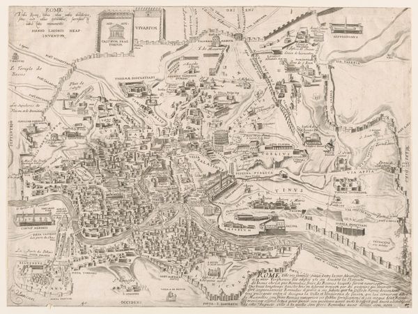
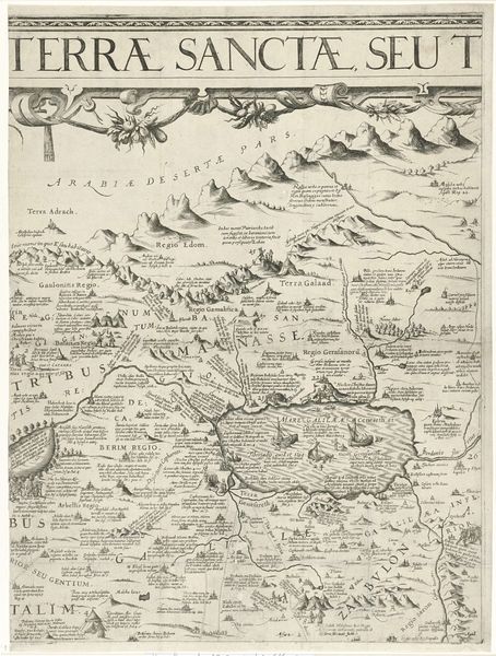
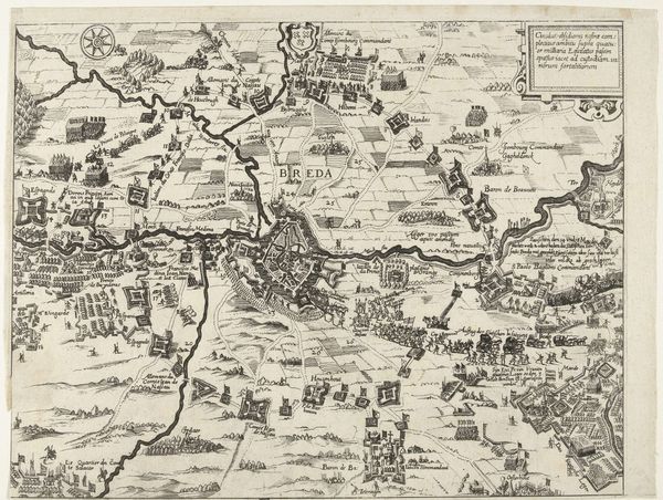
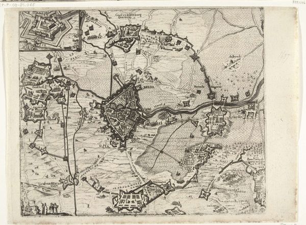
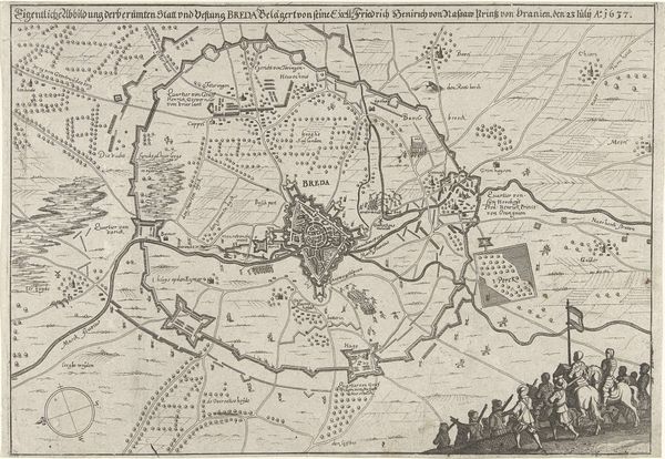
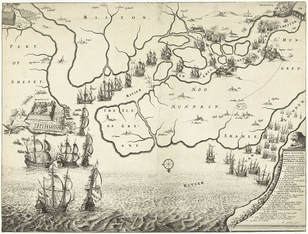
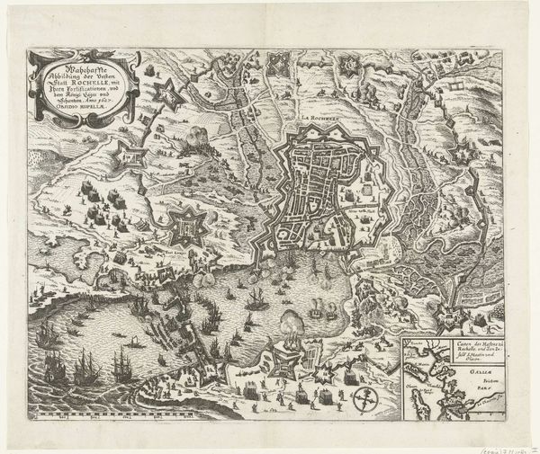
Curator: Isn't this "Kaart van België," a 1563 print, utterly charming? Something about seeing the world rendered with such precise lines and careful detail is just deeply satisfying. Editor: It is! It’s almost like an aerial view, though I know it wasn’t. I find myself trying to understand how the engraver conceived of a place, especially with ink on paper and all that tiny detail. What stands out to you? Curator: Well, it transports me to the Renaissance, a world of discovery. It’s like peering into the mind of someone trying to make sense of their physical reality and translate it into a comprehensible form. This isn’t just geography, you know, but history etched onto a copper plate, or maybe even a reflection of their mental landscape, all fears and imaginings projected onto land. Do you notice how some forests are drawn as clusters of trees and others as singular forms? I wonder what was going on in their world, what tales were being spread... Editor: It’s interesting you point that out. That the rendering style could actually communicate meaning rather than just show different vegetation! Curator: Exactly. Art blurs with history with personal anxieties of that period. Were there threats of bandits in certain woods? Areas considered more "civilized" vs not? Even the stylized settlements --what stories were being told? I could spend hours lost in this world, creating tales from just tiny villages on a map. Editor: I’m seeing it differently now! I came in thinking only about geography but realize there's an entire layer of narrative behind the geometric forms. Curator: That's it! It's not just what's depicted, but how it’s depicted. Maps, even today, are stories. Next time you're staring at one, imagine all the possibilities held within. Editor: Will do. It really changed how I think about not just maps, but historical depictions in general!
Comments
No comments
Be the first to comment and join the conversation on the ultimate creative platform.
More like this