print, engraving
#
baroque
# print
#
old engraving style
#
geometric
#
line
#
history-painting
#
engraving
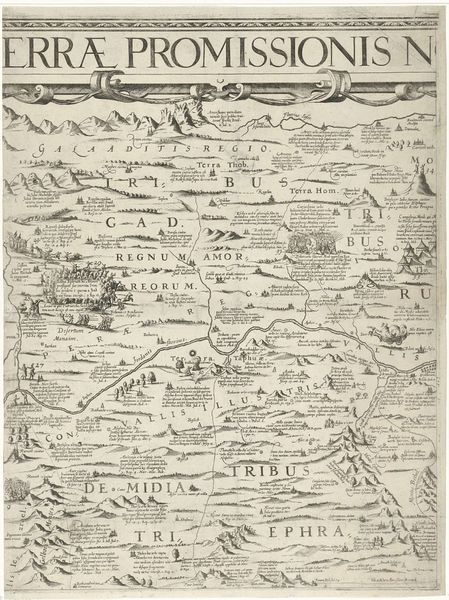
Dimensions: width 415 mm, height 542 mm
Copyright: Rijks Museum: Open Domain
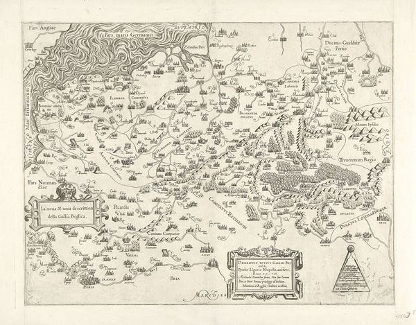
Editor: So, here we have Nicolaes van Geelkercken's "Kaart van Palestina," an engraving from 1621. It's so intricate! What strikes me immediately is the symbolic weight given to landscape; it feels more like a theological diagram than a straightforward geographical rendering. What do you see in this piece? Curator: Indeed! Look how the landscape features – mountains, rivers, even the sea – are meticulously rendered, each carrying a symbolic charge deeply rooted in biblical narratives and cultural memory. The very act of mapping the Holy Land becomes an act of faith, fixing sacred stories within a visual framework. Editor: That's fascinating. So the mountains aren’t just mountains…they represent something more? Curator: Precisely! Think of mountains as places of revelation, of encounter with the divine, and rivers as sources of life, purification. Notice how the placement and labeling of sites invoke the memory of tribes, battles, and prophetic events, embedding history within the terrain itself. It’s a cultural palimpsest, with layers of meaning built upon one another. Editor: It makes me think about how our perception of a place is always shaped by stories and beliefs. Do you think viewers at the time would have read this map differently than we do now? Curator: Absolutely. They would likely have recognized the implicit connections between physical landmarks and the spiritual narratives they embodied. Today, while some of those specific associations may have faded, the map continues to resonate as a potent symbol of cultural heritage and enduring religious significance. Editor: That really opens up how I think about historical maps. I see now that they aren't neutral depictions, but are embedded with meaning. Curator: And that understanding lets us consider its emotional weight across time. What stories did it tell then, and what stories does it tell now?
Comments
No comments
Be the first to comment and join the conversation on the ultimate creative platform.
More like this