print, engraving
#
baroque
#
dutch-golden-age
# print
#
pen sketch
#
old engraving style
#
cityscape
#
history-painting
#
engraving
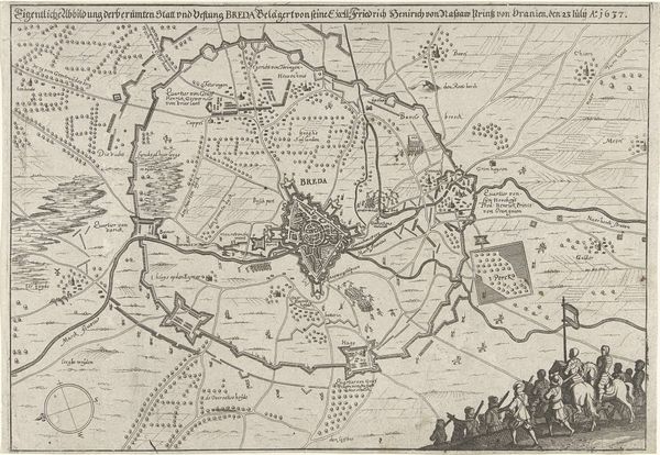
Dimensions: height 369 mm, width 463 mm
Copyright: Rijks Museum: Open Domain
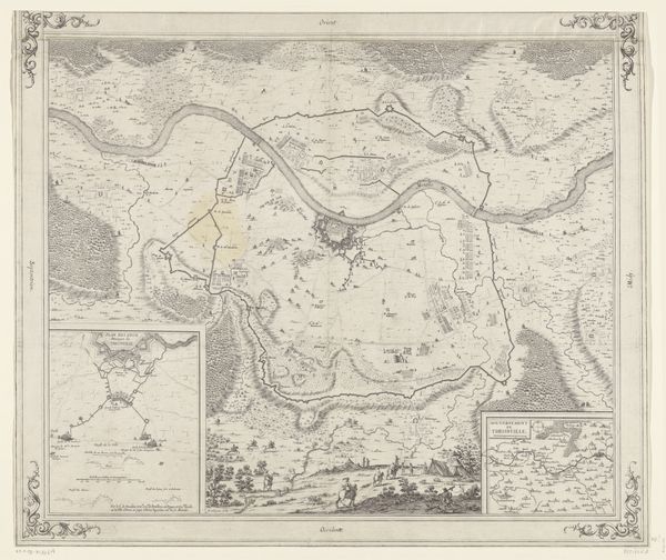
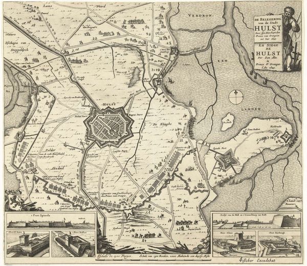
This is an anonymous map of the Siege of Breda, made between 1624 and 1625. The first impression is one of meticulous detail, a carefully constructed choreography of lines and shapes. Observe how the fortifications, roads, and bodies of water are rendered with a precision that speaks to the burgeoning scientific rationalism of the era. The map's composition is striking, with Breda at its center, a fortified nexus around which the drama of the siege unfolds. The lines of the siege works, etched with repetitive precision, create a visual sense of containment, of pressure bearing down upon the town. The use of hatching and stippling brings a tactile quality to the landscape. Consider how this map functions not merely as a record of events, but as an assertion of control and order amid the chaos of war. It reduces a complex, human event to a set of legible, manageable signs, imposing a grid of knowledge and power upon the landscape. This is more than just cartography; it's a statement about the power of representation.
Comments
No comments
Be the first to comment and join the conversation on the ultimate creative platform.
More like this