drawing, paper, ink
#
drawing
#
perspective
#
paper
#
ink
#
classicism
#
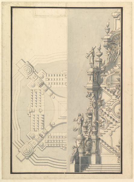
architectural drawing
#
architecture drawing
#
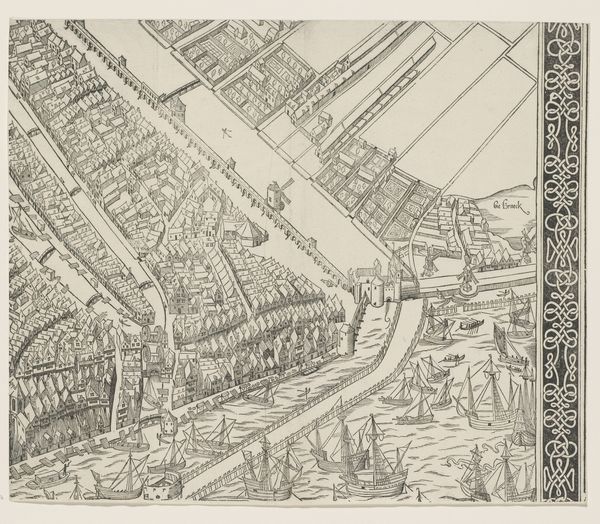
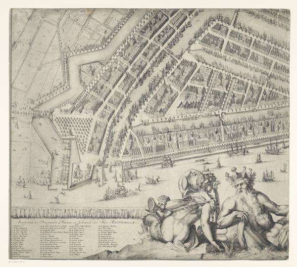
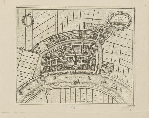
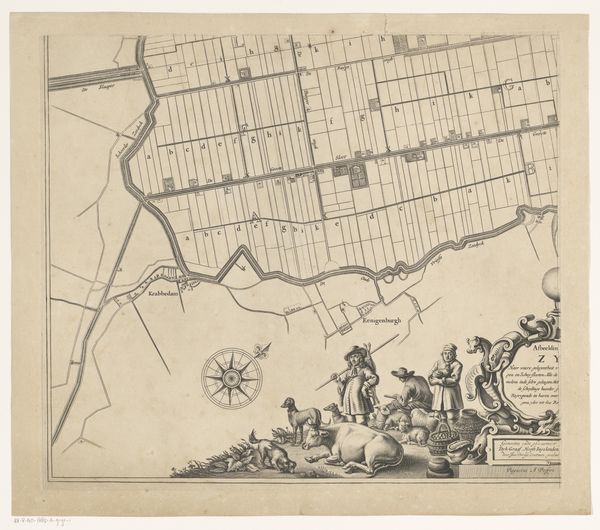
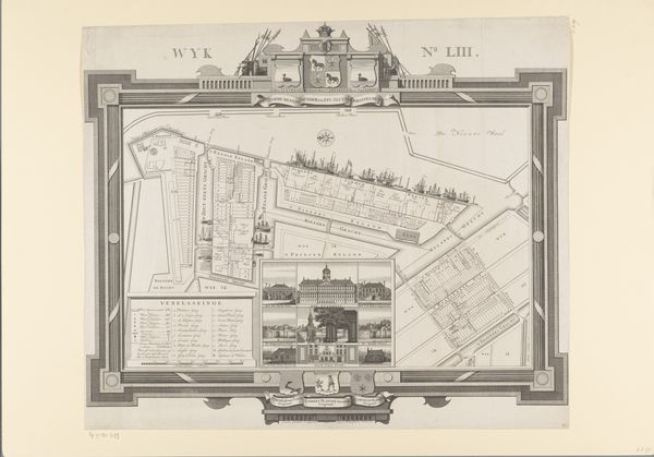
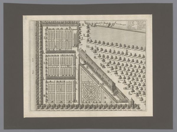
cityscape
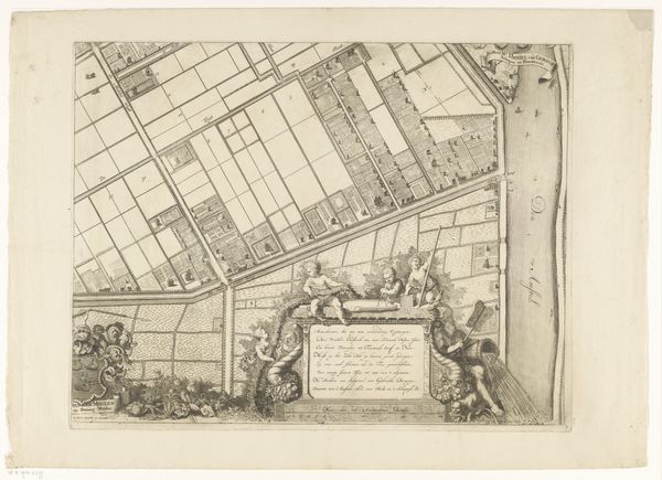
Dimensions: height 653 mm, width 867 mm
Copyright: Rijks Museum: Open Domain
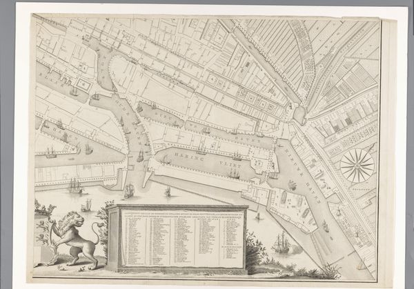
Cornelis van Baarsel produced this partial map of Rotterdam, using engraving techniques, during a time of significant urban and economic change in the Netherlands. The map offers insights into the spatial organization and infrastructure of Rotterdam, reflecting its status as a major port city and center for trade. The detailed depiction of waterways, docks, and urban planning reveals much about the economic priorities and maritime activities that shaped the city's development during this period. Made in the late 18th or early 19th century, the map would have served practical purposes for navigation and urban administration, and also as a symbol of civic pride and commercial power. The inclusion of decorative elements, such as the city's coat of arms, suggests an appeal to both local identity and international recognition. Historical resources such as municipal archives, trade records, and urban planning documents can help us interpret this map, not merely as a geographical representation, but as a cultural artifact reflecting the social and institutional contexts of its time.
Comments
No comments
Be the first to comment and join the conversation on the ultimate creative platform.
More like this