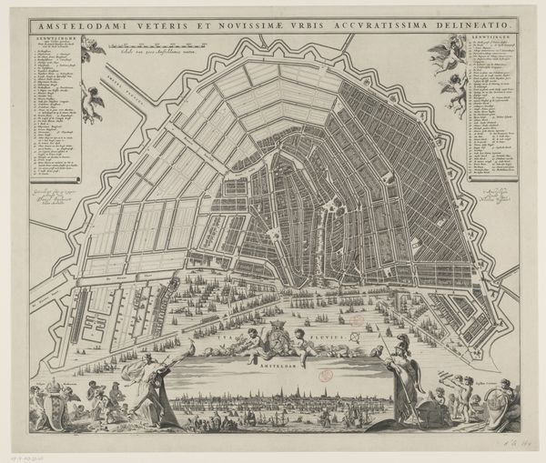
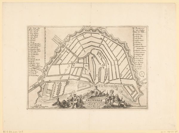
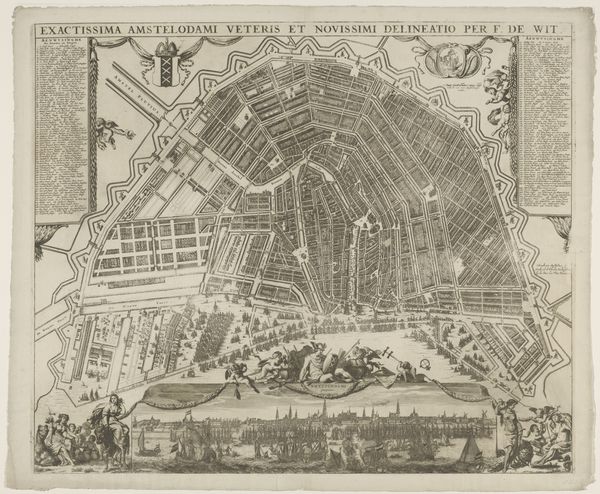
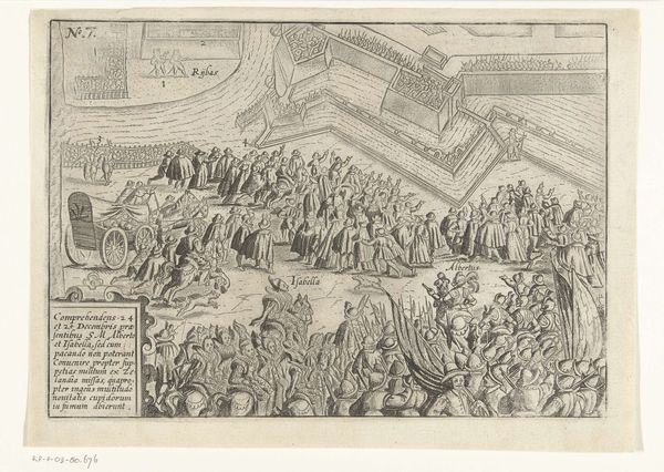
print, engraving
#
baroque
#
dutch-golden-age
# print
#
old engraving style
#
landscape
#
geometric
#
cityscape
#
engraving
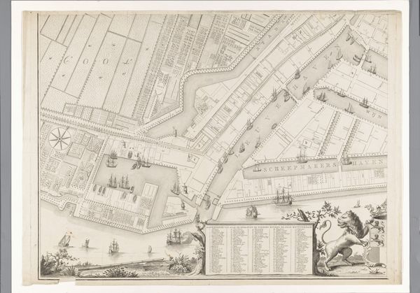
Dimensions: height 457 mm, width 592 mm
Copyright: Rijks Museum: Open Domain
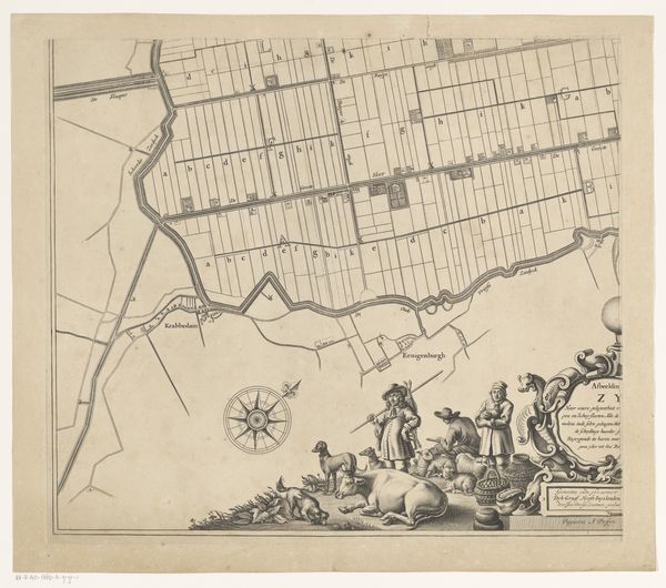
Editor: Here we have Pieter van den Berge’s "Kaart van de Watergraafsmeer (deel rechtsonder)", an engraving from 1719 currently held at the Rijksmuseum. The precise lines and calculated grid-like composition feel almost sterile, but there's a certain beauty in that very exactness. What social or historical forces do you think might have been at play when this piece was created? Curator: It's intriguing how you pick up on that sterility. Look closer at the decorative elements contrasting with the stark geometric organization. This tension reveals the mindset of the Dutch Golden Age: the impulse to control and organize the natural world married to an opulent self-image. Consider how land reclamation projects like the Watergraafsmeer were celebrated, mirroring colonial ambitions, which imposed similar ordering onto other peoples and environments. This map, while seemingly neutral, embodies this worldview. How does knowing this shift your perception? Editor: I see it now. The clean lines don’t just represent land, but a very specific ambition. Are the figures embellishing the map significant, do you think? Curator: Precisely. The putti aren’t just decoration; they're actively participating in claiming, measuring, and recording the space. Who is included, and who is excluded, becomes paramount. What does it mean to present control in the form of play, disguising it with this classical idealism? It normalizes that act, making it seem inevitable rather than a conscious exertion of power. How can we question this apparent "inevitability" in today’s context? Editor: I see that the very act of mapping is not a neutral representation. It's an active assertion of power, not only over the land itself, but over the narrative. Thank you, that's incredibly insightful. Curator: Indeed! Examining art in this light helps us recognize how seemingly benign images can carry embedded ideologies and prompts us to reflect on whose perspectives are amplified.
Comments
No comments
Be the first to comment and join the conversation on the ultimate creative platform.
More like this