drawing, print, etching, paper, ink
#
drawing
#
baroque
# print
#
etching
#
landscape
#
paper
#
ink
#
geometric
Dimensions: height 165 mm, width 215 mm
Copyright: Rijks Museum: Open Domain
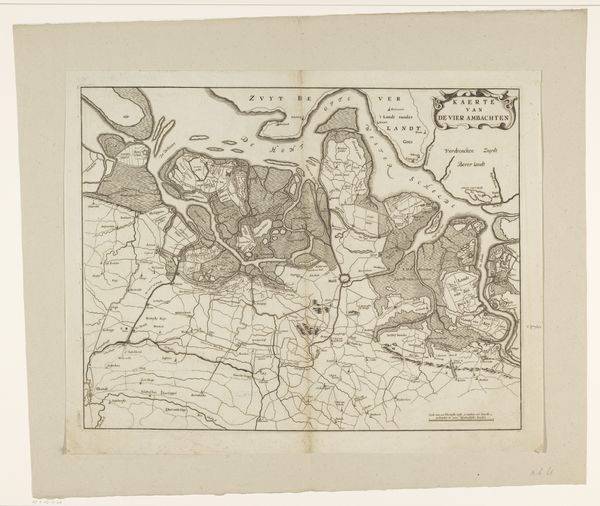
This is an anonymous map of the Diemer- or Watergraafsmeer, a lake in the Netherlands, created sometime after a flood in 1531. Mapping is never simply a neutral transcription of space; it's a deeply political act. This map embodies a society grappling with its relationship to water, land, and survival. Consider the emotional weight of this map for the people of the 16th century. It represents not just geography but the lived experience of vulnerability, the constant negotiation with the elements that defined their existence. It is a depiction of resilience and adaptation in the face of environmental adversity. We can view this map not just as a historical document, but as a testament to the enduring human struggle to find our place within the natural world. It reflects the personal and collective anxieties tied to their environment.
Comments
No comments
Be the first to comment and join the conversation on the ultimate creative platform.
More like this