print, paper, engraving
#
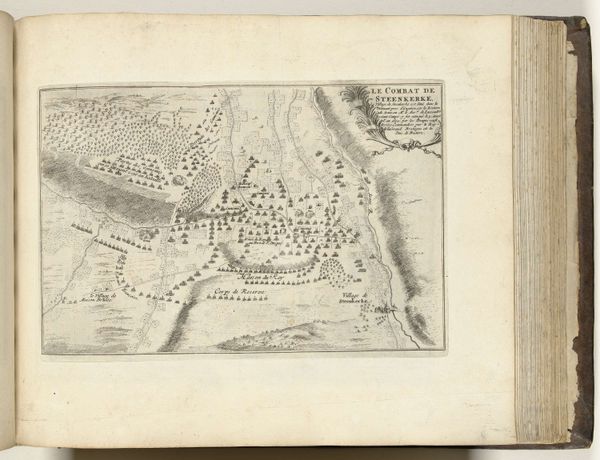
dutch-golden-age
# print
#
landscape
#
paper
#
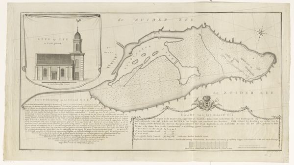
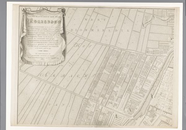
cityscape
#
engraving
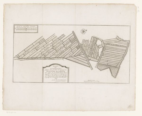
Dimensions: height 325 mm, width 995 mm
Copyright: Rijks Museum: Open Domain
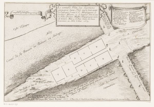
This map of Oosteinde near Aalsmeer was created by Leonardus Schenk Jansz in the eighteenth century. It offers a glimpse into the changing landscape and economic activities of the Dutch Republic. Looking closely, you can see the careful layout of land plots reclaimed from the water, an engineering feat typical of the period. This map isn't just a neutral record; it reflects the Dutch Republic's commercial ambitions and innovative approach to land use. During the 1700s, the Dutch Golden Age was coming to an end, but the economy was still largely based on trade and agriculture. These reclaimed lands would have been used for farming, particularly horticulture, for which the area is still known. The map also serves as a historical document of the institutional frameworks that enabled such developments, showing how land was divided and managed. Delving into period archives and geographical studies helps us understand the social impact of these land reclamation projects. They tell us about the lives of those who lived and worked on this land.
Comments
No comments
Be the first to comment and join the conversation on the ultimate creative platform.
More like this