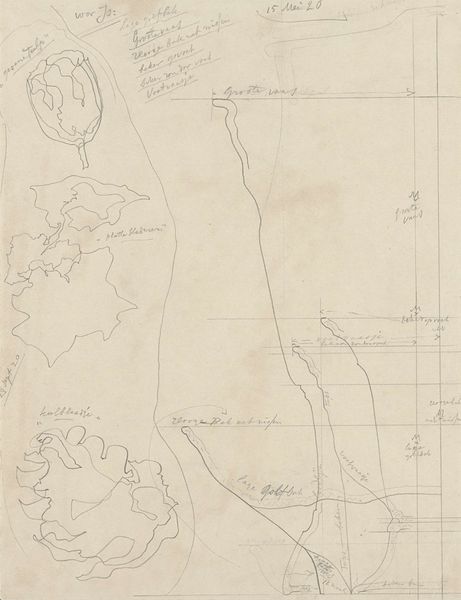
#
pen sketch
#
hand drawn type
#
personal sketchbook
#
sketchwork
#
pen-ink sketch
#
pen work
#
sketchbook drawing
#
storyboard and sketchbook work
#
sketchbook art
#
initial sketch
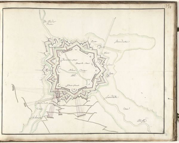
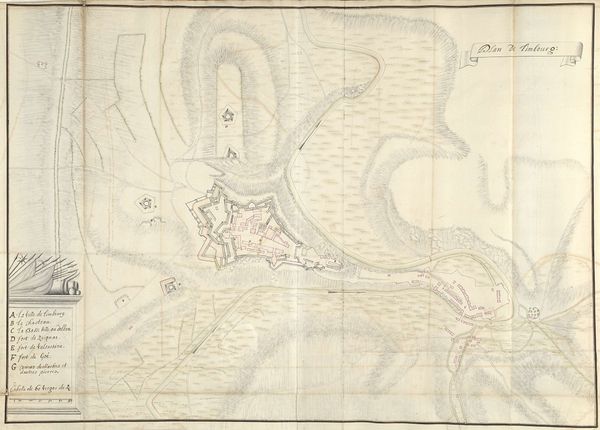
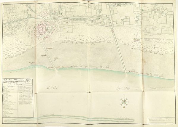
Dimensions: height 401 mm, width 328 mm
Copyright: Rijks Museum: Open Domain
This is Samuel Du Ry de Champdoré's 1707 map, "Beleg van Toulon," offering us a bird's eye view of a pivotal military moment. Champdoré, born in the mid-17th century, lived during a time of immense political and military upheaval in Europe, and this map encapsulates the tensions of the War of the Spanish Succession. The map delineates the siege of Toulon, a critical naval port, with a precision that speaks to the strategic imperatives of the era. It also whispers of the human stories beneath the battle lines. Consider the emotional weight carried by the inhabitants of Toulon, caught in the crossfire of warring empires. How did one's identity shape their experience of the siege? Were they defined by their loyalty to France, their class, or their local allegiances? Maps like these aren't merely documents; they are narratives that illustrate the complex interplay between power, space, and identity. They remind us of the lived realities behind historical events, inviting us to reflect on the enduring impact of conflict on communities and individuals.
Comments
No comments
Be the first to comment and join the conversation on the ultimate creative platform.
More like this