drawing, print, engraving
#
drawing
#
baroque
# print
#
landscape
#
geometric
#
history-painting
#
engraving
Dimensions: height 323 mm, width 421 mm
Copyright: Rijks Museum: Open Domain
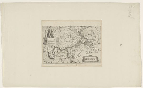
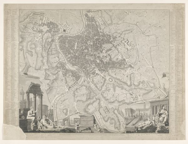
Cornelis Galle I created this section of "Map of the Holy Land" without a specified date using etching. The composition is striking, a blend of geographical precision and symbolic representation. Lines delineate regions, rivers, and settlements, while various insets offer detailed views of significant sites. Galle's use of spatial organization is particularly interesting. The map itself, with its detailed topography, is juxtaposed with architectural renderings and symbolic figures. This creates a layered effect, suggesting a complex interplay between the physical and the spiritual. The precise lines of the etchings serve not only to map the territory, but also to structure the viewer's understanding of the sacred. This is more than just a map; it’s a structured interpretation of a world, where each element is carefully placed to convey meaning. The map invites us to see how the formal elements work together to shape our understanding of place, history, and belief.
Comments
No comments
Be the first to comment and join the conversation on the ultimate creative platform.
More like this