drawing, print, ink, engraving
#
drawing
# print
#
landscape
#
ink
#
geometric
#
cityscape
#
northern-renaissance
#
engraving
Dimensions: height 308 mm, width 705 mm
Copyright: Rijks Museum: Open Domain
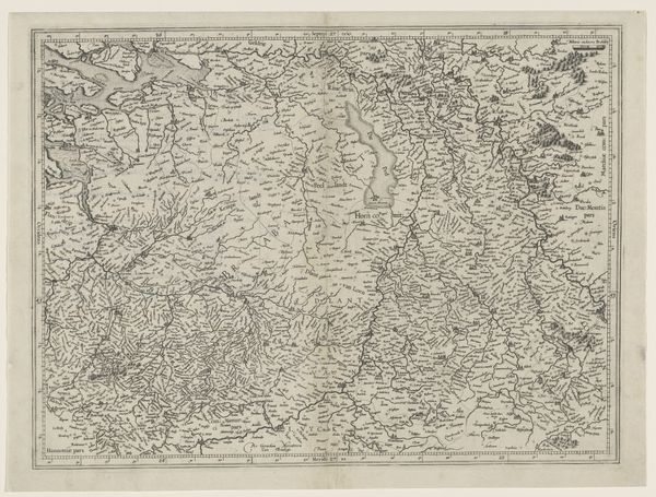
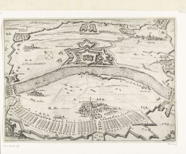
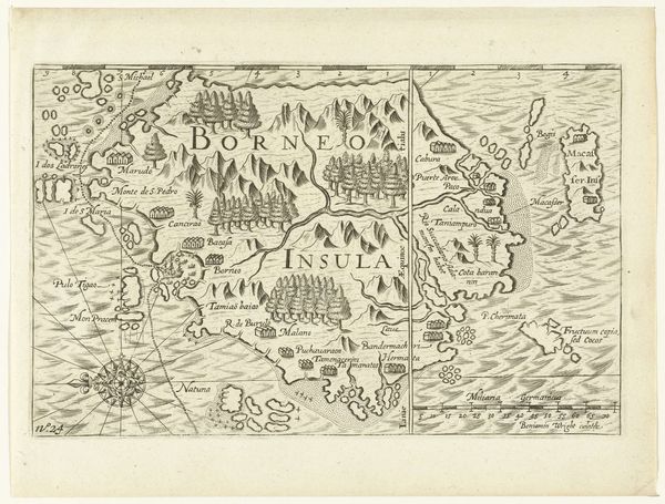
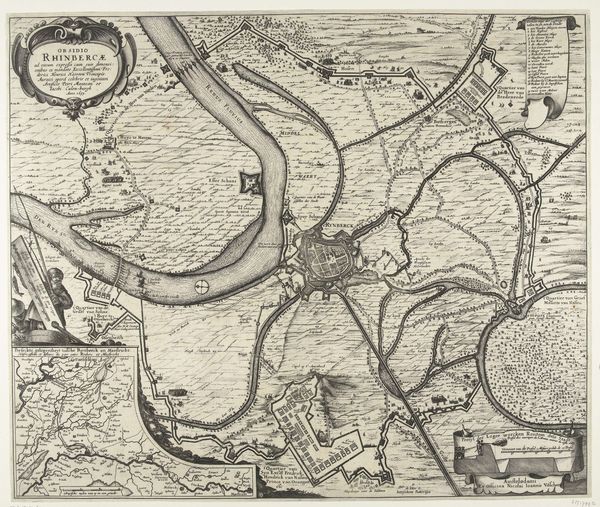
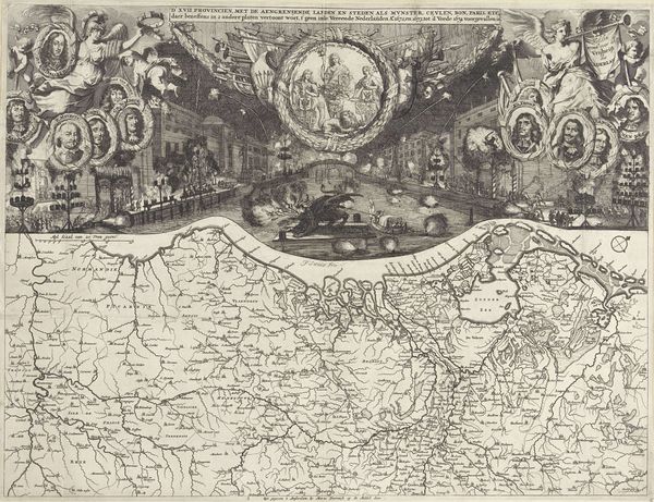
Joost Jansz. Bilhamer created this map of the central region of North Holland. It is a detailed engraving, capturing the geographical and cultural landscape of the area during a transformative period. Bilhamer made this map during the 16th century, a time when the Netherlands was undergoing significant political and social changes, marked by its struggle for independence from Spanish rule. Maps were not just geographical tools; they were assertions of identity, expressions of regional pride, and declarations of political will. Think of the map as a mirror reflecting a society in flux, capturing both its physical and cultural contours. Consider the economic implications of the waterways depicted. These were the arteries of trade and commerce. Who controlled them, and who benefited from their use? The map invites us to consider the power dynamics inherent in the landscape itself. It reflects both the reality and the aspirations of a society on the brink of forging its own identity.
Comments
No comments
Be the first to comment and join the conversation on the ultimate creative platform.
More like this