drawing, print, ink, engraving
#
drawing
#
pen drawing
# print
#
pen illustration
#
pen sketch
#
personal sketchbook
#
ink
#
sketchwork
#
ink drawing experimentation
#
geometric
#
pen-ink sketch
#
pen work
#
sketchbook drawing
#
history-painting
#
academic-art
#
italian-renaissance
#
sketchbook art
#
engraving
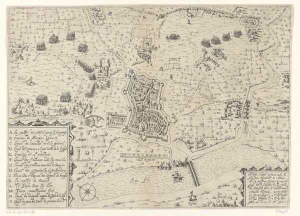
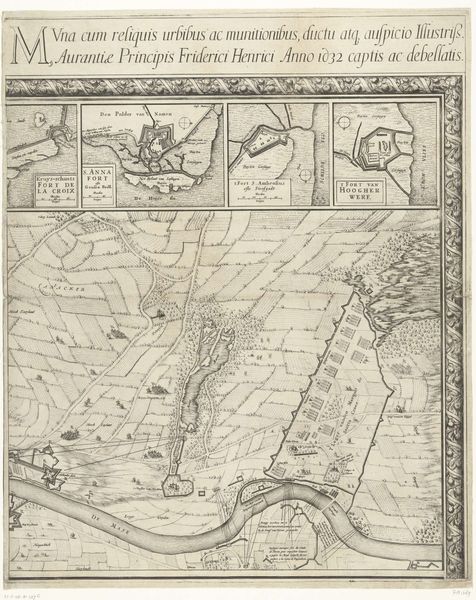
Dimensions: height 407 mm, width 515 mm
Copyright: Rijks Museum: Open Domain
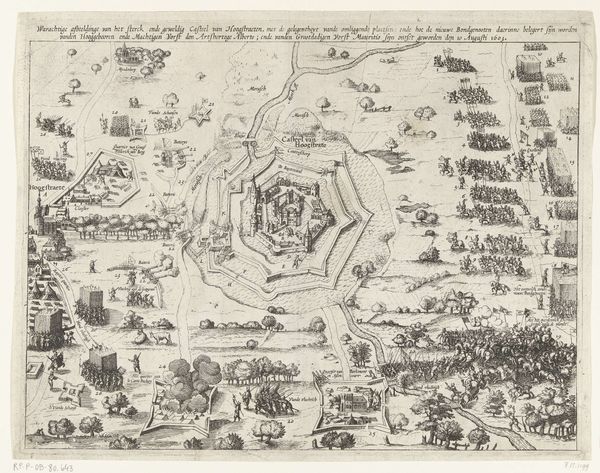
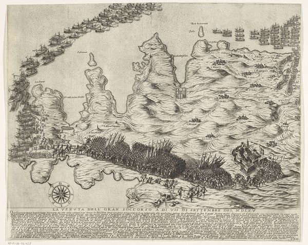
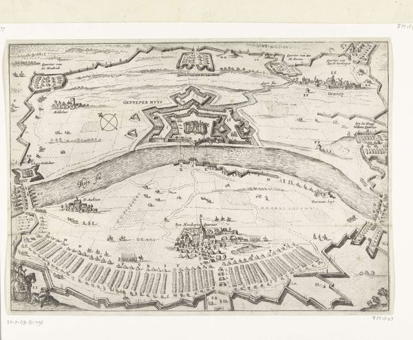
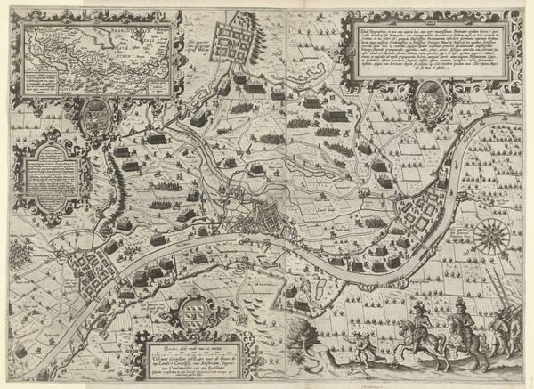
Giovanni Justo’s ‘Map of the Siege of the Fortress Gradisca’ was produced in 1616, using etching, and provides a bird’s eye view of a military campaign. The map offers a glimpse into the military strategies and geopolitical tensions of 17th-century Europe. Made during a period of intense conflict, the Thirty Years' War loomed. The conflict forced a restructuring of military institutions across the continent. The map meticulously delineates the fortress of Gradisca, now in modern Italy, its surrounding fortifications, and the disposition of besieging forces. Visual codes embedded in the map reference the historical associations of military might and control over territory. Historians consult a variety of sources, including military records, diplomatic correspondence, and contemporary accounts to reconstruct the events surrounding the siege of Gradisca. It emphasizes how artworks like these are contingent on social and institutional contexts.
Comments
No comments
Be the first to comment and join the conversation on the ultimate creative platform.
More like this