drawing, print, paper, ink, engraving
#
drawing
#
medieval
#
narrative-art
#
pen drawing
# print
#
pen illustration
#
asian-art
#
old engraving style
#
landscape
#
paper
#
ink line art
#
ink
#
geometric
#
pen-ink sketch
#
orientalism
#
cityscape
#
academic-art
#
engraving
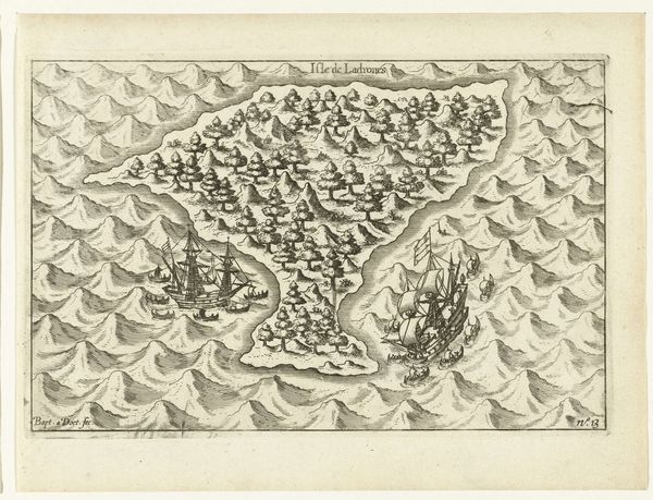
Dimensions: height 145 mm, width 225 mm
Copyright: Rijks Museum: Open Domain
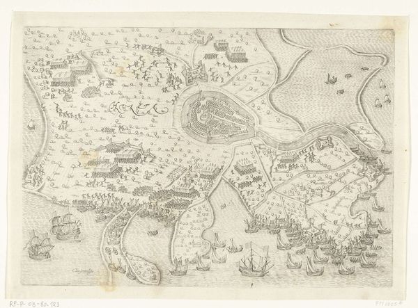
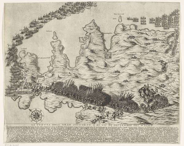
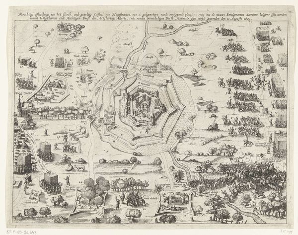
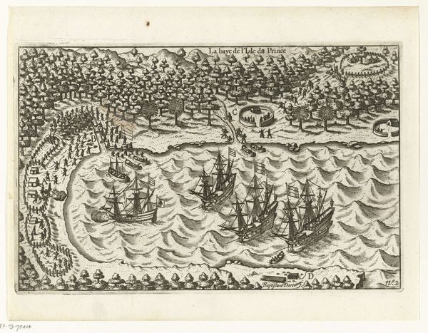
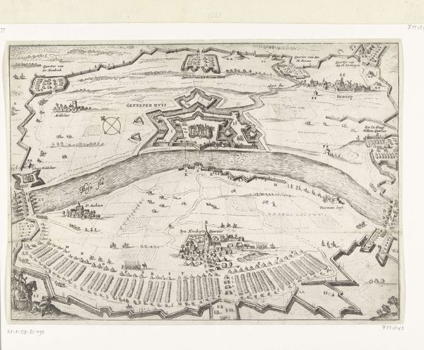
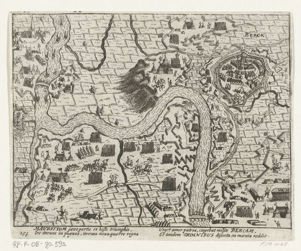
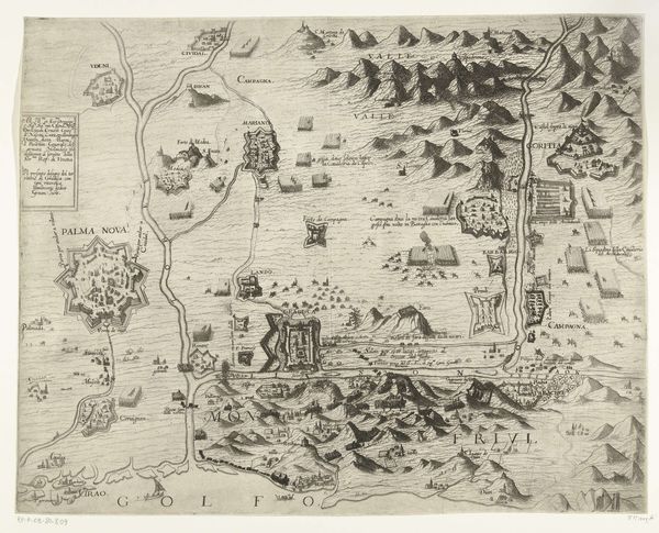
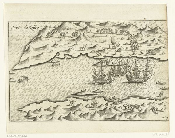
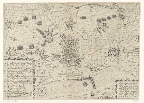
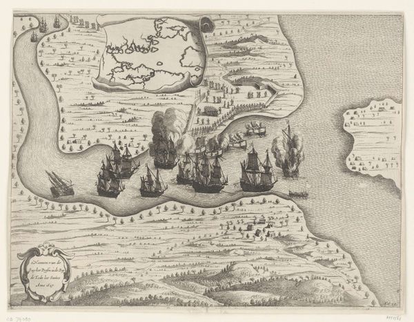
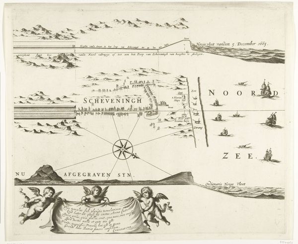
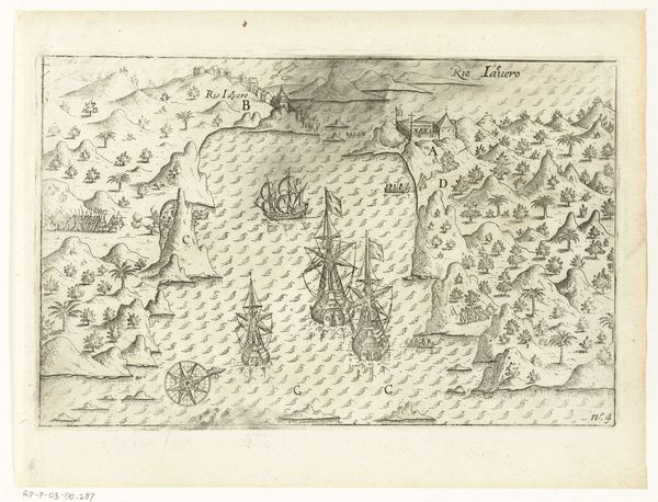
This is a map of the island of Borneo, created in 1601 by the English cartographer Benjamin Wright. It reflects the historical period of European exploration and colonization that dramatically shaped the identities and histories of both colonizers and the colonized. Notice how the map privileges a European perspective, naming geographic features from a Western point of view and imposing an external order on the landscape. It highlights the power dynamics inherent in map-making, where the act of mapping itself becomes a form of claiming and controlling territory. The map becomes a tool for imagining and enacting colonial power. It also invites us to reflect on the human stories that are often erased or misrepresented in such documents. What was the experience of the indigenous people who already inhabited this land? How did they perceive and navigate their world before the arrival of European cartographers? The map, while seemingly objective, is in fact a subjective representation loaded with cultural and political implications. It serves as a reminder of the complex and often fraught relationship between colonizer and colonized.
Comments
No comments
Be the first to comment and join the conversation on the ultimate creative platform.
