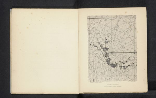
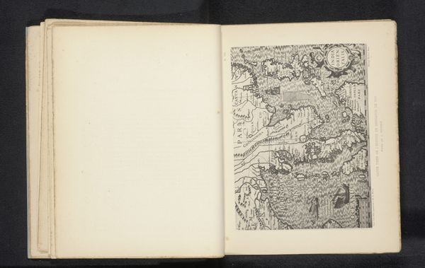
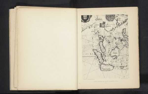
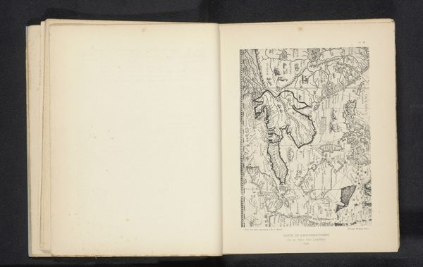
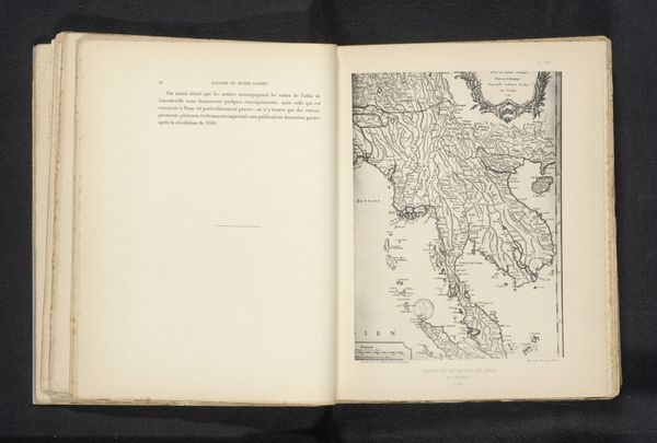
Reproductie van een landkaart van de omgeving van China en Borneo door Pieter Goos before 1895
0:00
0:00
drawing, paper, pen
#
drawing
#
aged paper
#
asian-art
#
sketch book
#
hand drawn type
#
landscape
#
paper
#
personal sketchbook
#
sketchwork
#
journal
#
pen work
#
sketchbook drawing
#
pen
#
storyboard and sketchbook work
#
sketchbook art
Dimensions: height 221 mm, width 165 mm
Copyright: Rijks Museum: Open Domain
Curator: Here we have a reproduction of a map, dating from before 1895. It depicts the regions surrounding China and Borneo, attributed to Pieter Goos. The medium is listed as drawing. Editor: It feels remarkably… functional. There's a coldness, almost, to its precision. The stark contrast of the lines on the aged paper projects an aura of navigation, a tool rather than a vista. Curator: Precisely. The stark lines, repeated at calculated intervals, create a rigorous grid. Note how the pen work emphasizes outline and boundary; topography defined not through depth, but separation. Editor: The lines do dominate, don’t they? It's compelling how cultural weight accumulates around these stark visual boundaries. Imagine all the colonial ventures launched using this visual framework – the psychological power embedded in declaring "this is here, and that is there." Curator: Exactly. That act of dividing space carries immense significance, beyond simply locating places. The map isn't merely representational; it participates in the active creation of territory, its visual grammar mirroring colonial ambition. Editor: Look at the ornamentation as well! The vignettes of figures above seem to stand as symbols of Europe observing this charted world, or laying claim to the charted world. What a layered document. Curator: You’ve pointed out a fascinating juxtaposition. The ornamental elements, classical in their form, sit rather uneasily above the "rational" grid beneath. Perhaps a tension there, between aesthetic embellishment and instrumental purpose. Editor: A visual power struggle then. The practical and political both conveyed through symbols, line, and the object itself. It certainly elevates what first appeared as a simple instrument into something with a richer story to tell. Curator: Agreed. Examining the map's construction reveals those silent intentions inscribed in every pen stroke. A complex intersection of art, science, and politics—much more than a navigational aid.
Comments
No comments
Be the first to comment and join the conversation on the ultimate creative platform.
More like this