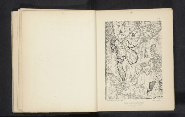
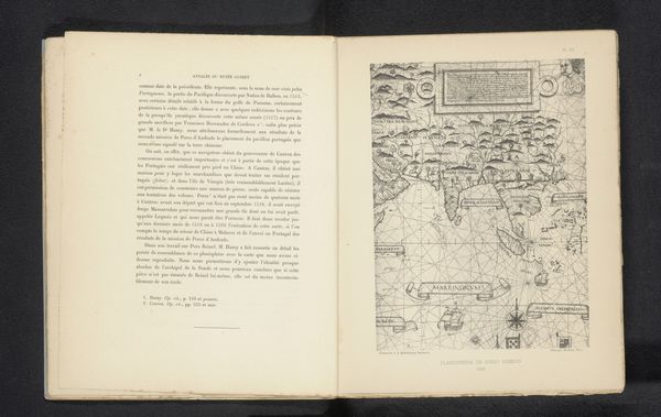
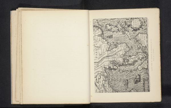
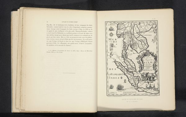
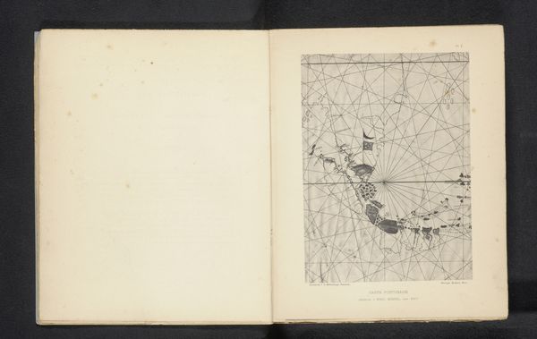
Reproductie van een zeekaart van Zuidoost-Azië door Evert Gijsberts Soon before 1895
0:00
0:00
drawing, print
#
drawing
# print
#
geometric
#
orientalism
Dimensions: height 219 mm, width 162 mm
Copyright: Rijks Museum: Open Domain
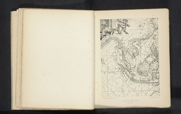
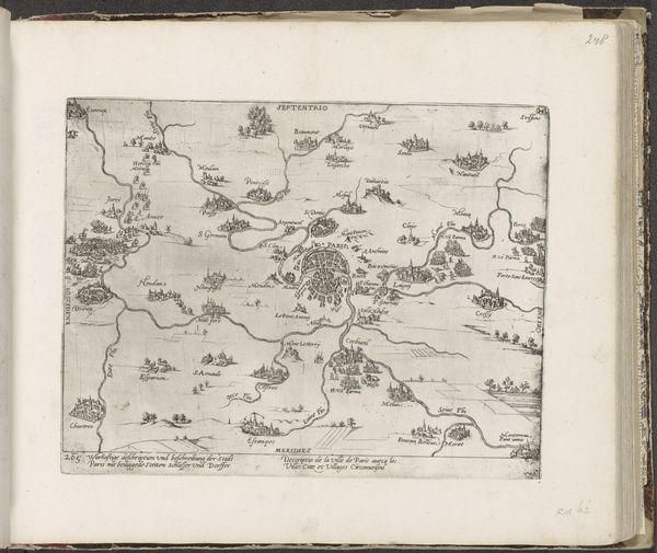
This reproduction of a sea chart of Southeast Asia by Michel Berthaud presents a stark contrast between the pristine, untouched page on the left and the intricate map on the right. Berthaud uses stark lines to define geographical contours, creating a complex interplay of positive and negative space that invites close inspection. The map's structure, with its web of rhumb lines, isn't just a navigational tool; it's a visual metaphor for the imposition of order onto the unknown. We can view the gridded lines and defined borders as a system of signs, reflecting Europe's ambition to chart and categorize the world. However, the very act of reproducing this chart destabilizes its authority. The original's practical intent is now mediated through an artistic lens. The map now exists as an aesthetic object, where form and composition take precedence. It prompts us to reflect on how representations of space are not neutral but are always embedded with cultural and political meanings, challenging us to reconsider the narratives they construct.
Comments
No comments
Be the first to comment and join the conversation on the ultimate creative platform.
More like this