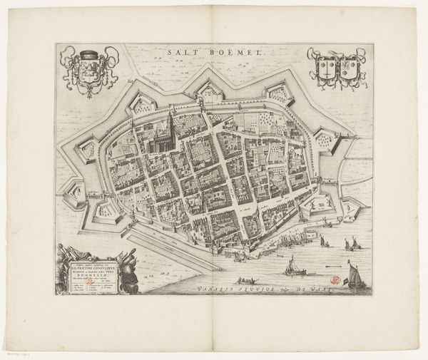
print, engraving
# print
#
cityscape
#
northern-renaissance
#
engraving
Dimensions: height 338 mm, width 482 mm
Copyright: Rijks Museum: Open Domain
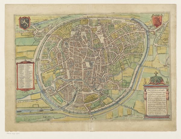
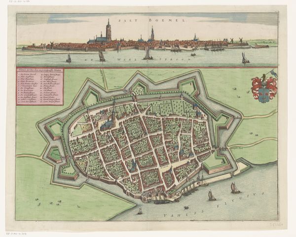
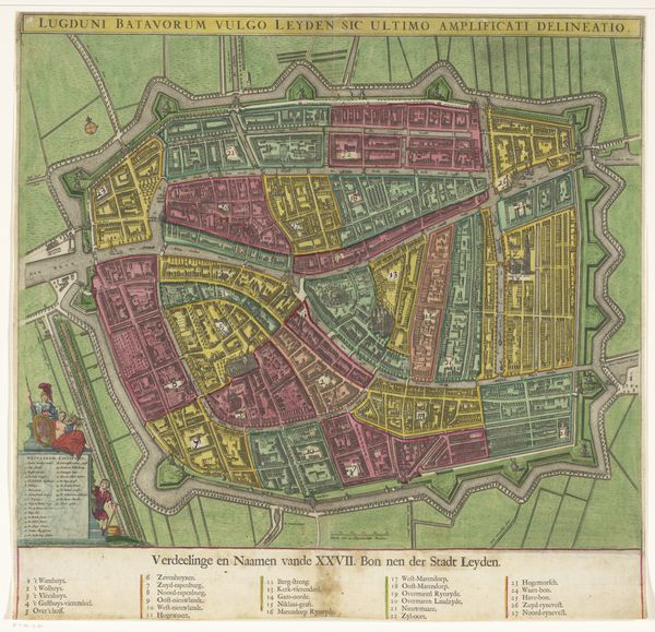
Editor: So, this is “Plattegrond van Gent,” a print made in 1575 by Frans Hogenberg. It's an engraving depicting a bird's-eye view of the city of Ghent. It feels almost…strategic, like a document designed to wield power through knowledge. What do you make of it? Curator: This print offers so much more than just a visual representation; it speaks volumes about the sociopolitical landscape of its time. Consider, for instance, Ghent’s history. As a significant urban center in the 16th century, it was also a site of religious and political conflict, particularly within the context of the Dutch Revolt. How do you think this map might have been used, or perhaps misused, in that struggle? Editor: Well, given the level of detail, it seems like it could definitely be used for strategic military planning, or even propaganda to highlight Ghent’s power and defenses. The way the fortifications and waterways are emphasized… Curator: Exactly. The map presents a very deliberate vision of Ghent. Hogenberg's choice to depict the city in such detail normalizes a specific perspective for the audience. Are there features on the map that, when considering religious or class-based tensions, could emphasize specific power dynamics? Editor: I hadn't really thought of that! Perhaps the emphasis on the wealthy merchant areas or religious buildings would highlight the city's power, potentially overlooking areas inhabited by poorer communities. Curator: Precisely. How does this make you think about the mapmaker’s role and position within these power structures? Editor: I suppose it makes them less of a neutral observer and more of an active participant in shaping how the city and its power dynamics are perceived. That's quite different from how I usually think about maps. Curator: It also challenges the very idea of objective representation. Maps aren’t simply reflections of reality; they actively construct it. It leaves me wondering, what other "objective" documents from history should we look at more critically? Editor: This has definitely shifted my understanding. I'll never look at a historical map the same way again. Thanks!
Comments
No comments
Be the first to comment and join the conversation on the ultimate creative platform.
More like this