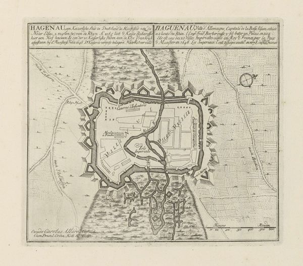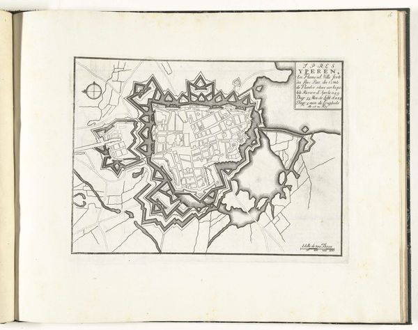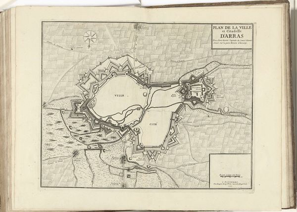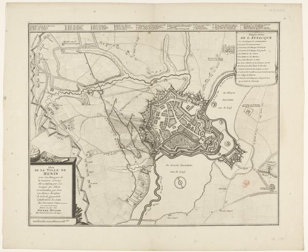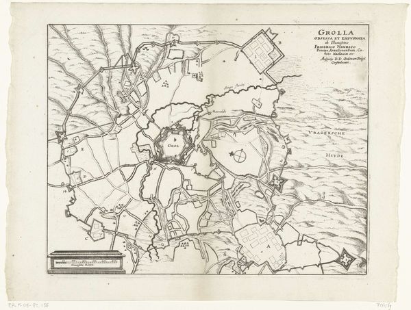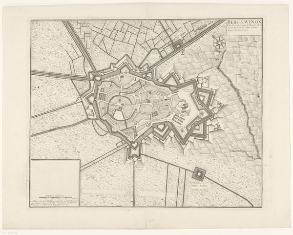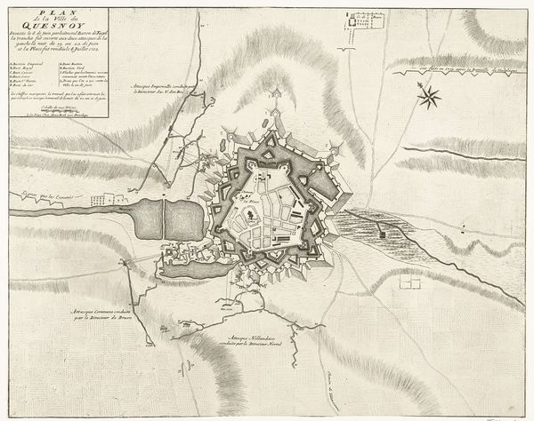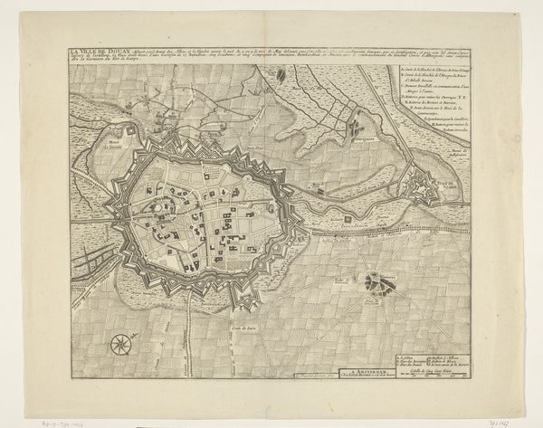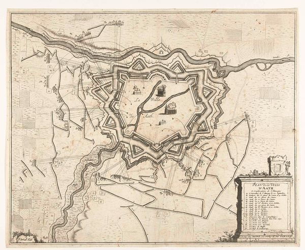
Plattegrond van de stad en het kasteel van Bredevoort met de versterkingen, 1597 1647 - 1649
0:00
0:00
anonymous
Rijksmuseum
drawing, print, paper, ink, engraving
#
drawing
#
light pencil work
#
dutch-golden-age
# print
#
pen sketch
#
paper
#
personal sketchbook
#
ink
#
idea generation sketch
#
sketchwork
#
ink drawing experimentation
#
geometric
#
pen-ink sketch
#
sketchbook drawing
#
cityscape
#
storyboard and sketchbook work
#
sketchbook art
#
engraving
Dimensions: height 431 mm, width 540 mm
Copyright: Rijks Museum: Open Domain
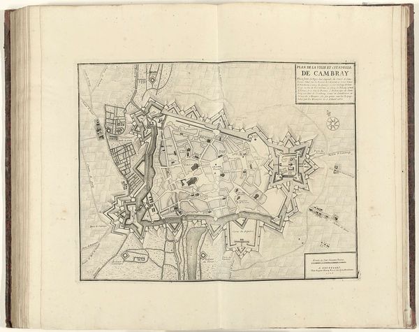
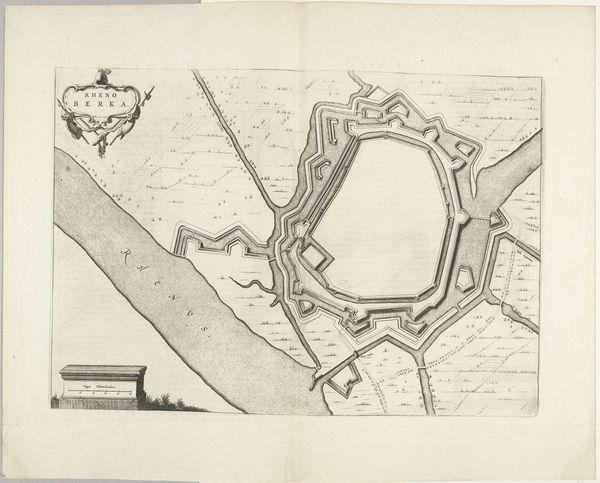
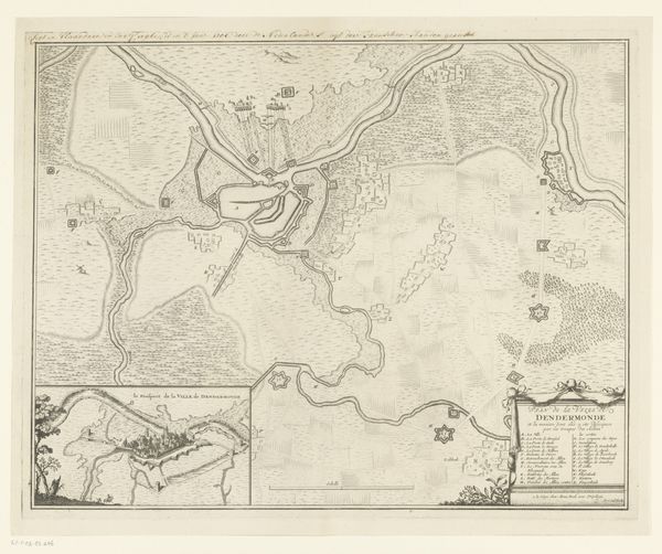
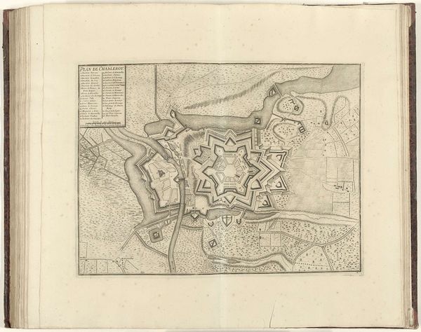
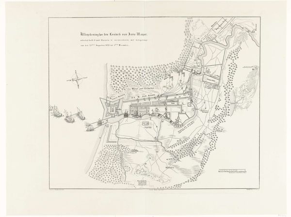
This is an anonymous engraving from 1597, presenting a plan of Bredevoort city and castle with its fortifications. The composition is divided into two distinct panels, creating an immediate visual contrast between two representations of the same fortified area. On the left, the structural elements and fortifications of Bredevoort are laid out in a linear, diagrammatic fashion, resembling an architectural blueprint. In contrast, the right panel offers a more conventional cartographic view, emphasizing the geometric perfection of the star-shaped fortress. The stark, almost clinical, rendering reduces the landscape to its bare essentials, highlighting the strategic planning over the natural environment. The emphasis on geometric shapes and calculated angles reduces the city to a set of signs, a semiotic system designed for defense and control. It challenges our understanding of space, suggesting that land is primarily a site of strategic operation rather than a place of organic growth. This engraving functions as a tool for understanding how power is inscribed onto the landscape, transforming it into a structured, legible space.
Comments
No comments
Be the first to comment and join the conversation on the ultimate creative platform.
