print, paper, engraving
#
aged paper
#
page thumbnail
#
dutch-golden-age
# print
#
old engraving style
#
paper
#
geometric
#
cityscape
#
engraving
Dimensions: height 247 mm, width 291 mm
Copyright: Rijks Museum: Open Domain
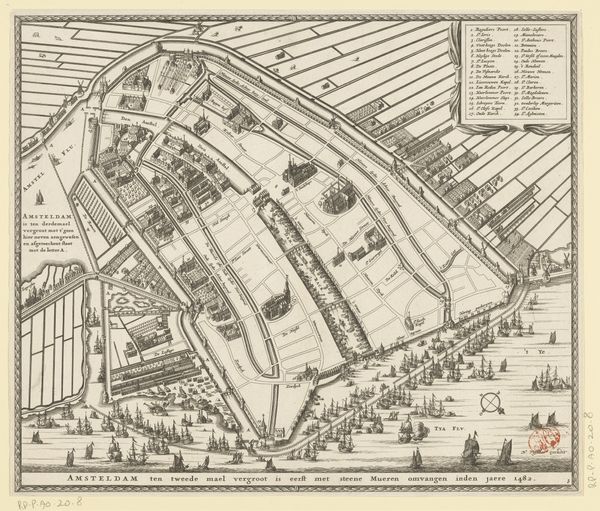
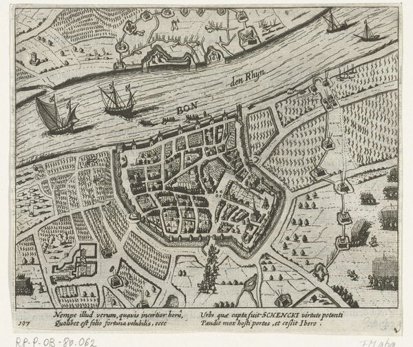
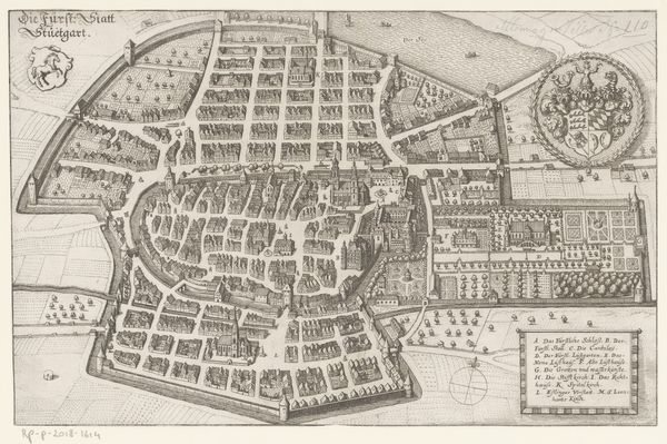
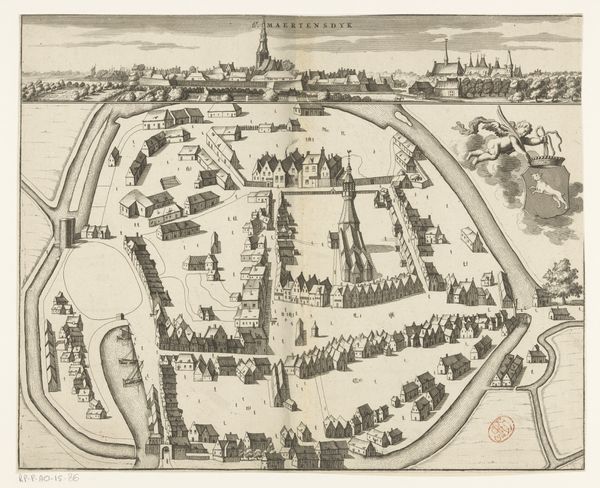
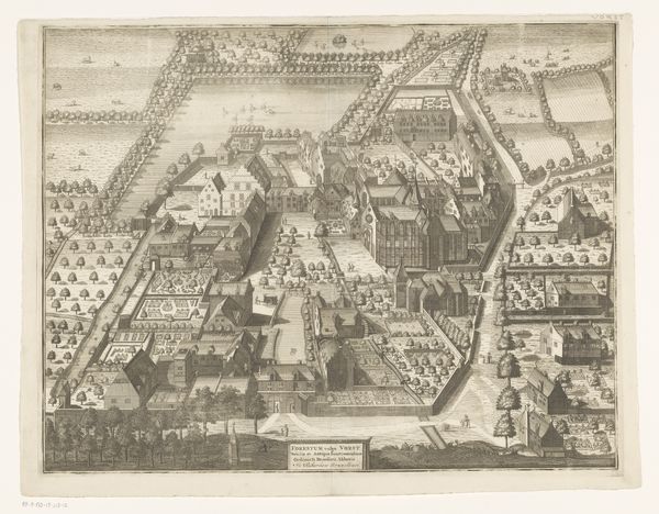
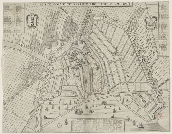
Pieter Hendricksz. Schut's "Plattegrond van Amsterdam, 1612" presents a meticulously rendered map, etched with precise lines on a copperplate. Its stark monochromatic palette accentuates the intricate network of canals and urban divisions, offering a bird's-eye perspective of Amsterdam's spatial organization. The map's structure adheres to a rational grid, reflecting the Dutch Republic's ethos of order and efficiency. This layout isn’t merely cartographic; it's a manifestation of controlled space, mirroring the socio-political structures of the time. The city is neatly segmented, each block a unit in a larger scheme, echoing the era's fascination with systematization. Consider how the visual language employed here—the sharp delineation of urban space versus the fluidity of waterways—establishes a visual dialogue. This isn’t just a depiction of geography but a statement about how the built environment shapes and is shaped by human activity. The map challenges our understanding of urban space as organic and ever-changing. It invites us to consider how early modern urban planning encodes power, perception, and representation.
Comments
No comments
Be the first to comment and join the conversation on the ultimate creative platform.
More like this