Plattegronden van Lérida, Tarragona en andere plaatsen in Catalonië, ca. 1702 1702 - 1703
0:00
0:00
anonymous
Rijksmuseum
drawing, print, ink, pen, engraving
#
drawing
#
baroque
# print
#
pen sketch
#
landscape
#
ink
#
pen
#
cityscape
#
engraving
Dimensions: height 236 mm, width 357 mm
Copyright: Rijks Museum: Open Domain
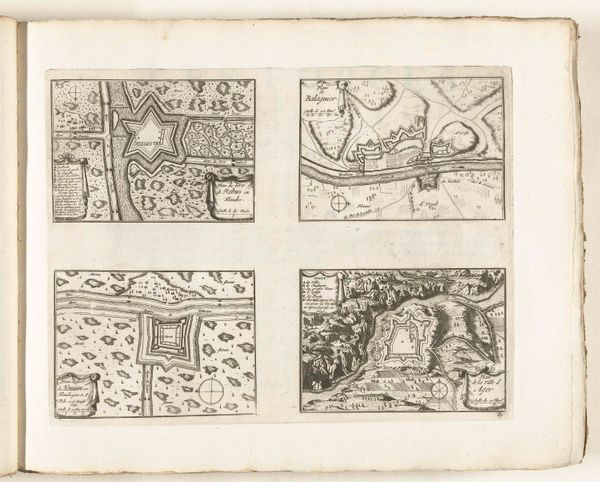
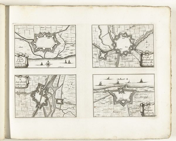
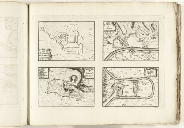
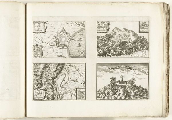
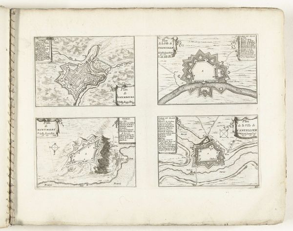
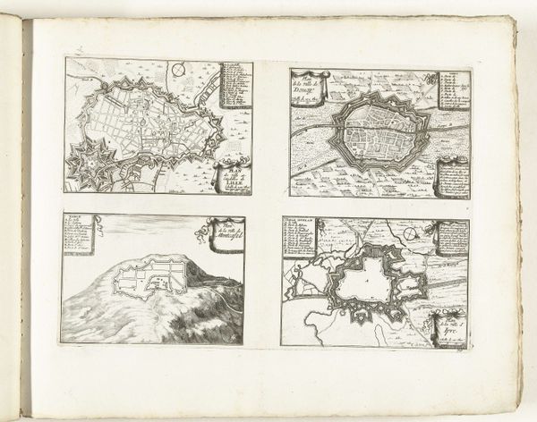
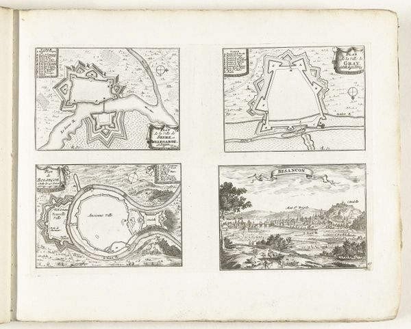
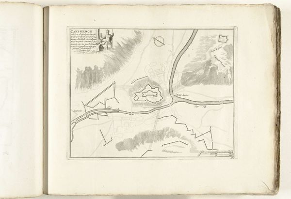
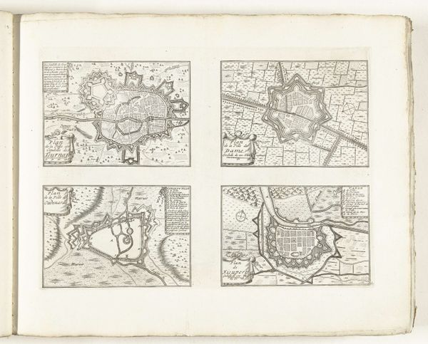
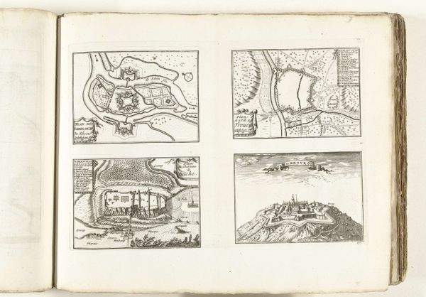
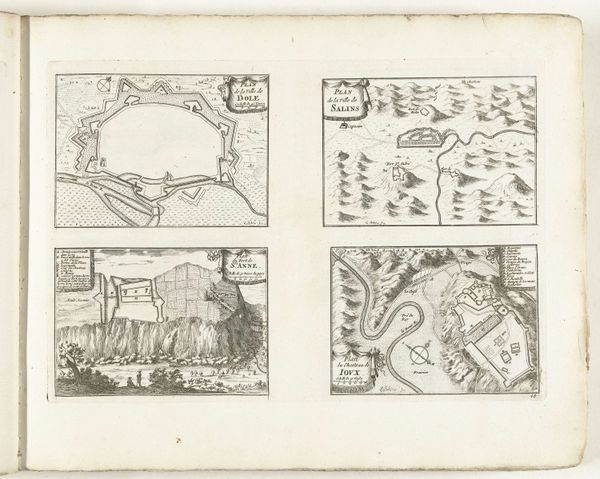
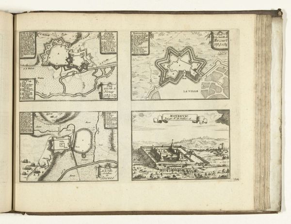
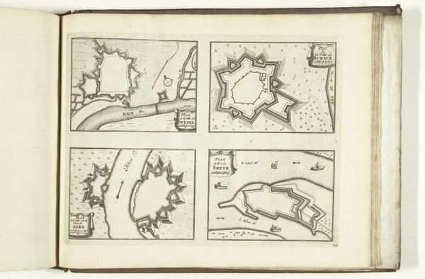
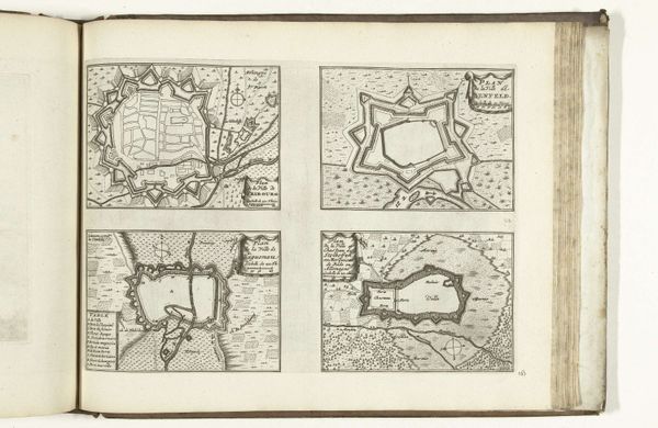
This is an anonymous print from around 1702, depicting maps of Lérida, Tarragona, and other Catalan locations. Here, the depiction of fortifications isn't merely about geographical accuracy; it speaks to a deep-seated human desire for protection and dominion. Notice how the walls and citadels dominate each scene, evoking the power and vulnerability inherent in human settlements. One cannot help but recall the ancient city-states of Mesopotamia, also defined by their protective walls, or even the symbolic walls of monasteries and sacred spaces designed to ward off external threats. Consider, for instance, the recurring motif of the walled city. Throughout history, from Jericho to medieval Carcassonne, walls symbolize not only physical defense but also cultural identity and psychological security. The act of mapping itself is a symbolic gesture—an attempt to impose order on the chaos of the world. The psychological impact of such imagery is profound. These aren't just maps; they're embodiments of our collective anxieties and aspirations, resonating with the timeless human quest for safety and control. The symbols present transcend their immediate context, revealing the enduring power of human cultural memory.
Comments
No comments
Be the first to comment and join the conversation on the ultimate creative platform.
More like this