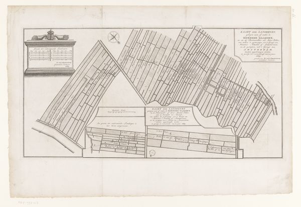
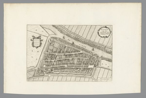
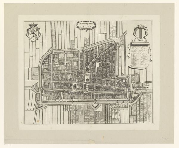
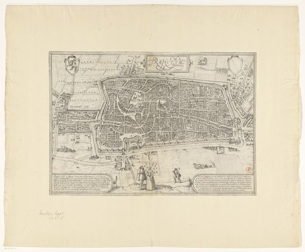
print, paper, engraving
#
baroque
# print
#
landscape
#
paper
#
cityscape
#
engraving
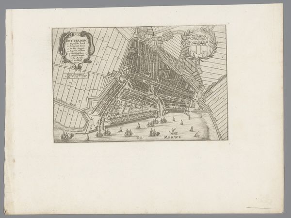
Dimensions: height 173 mm, width 215 mm
Copyright: Rijks Museum: Open Domain
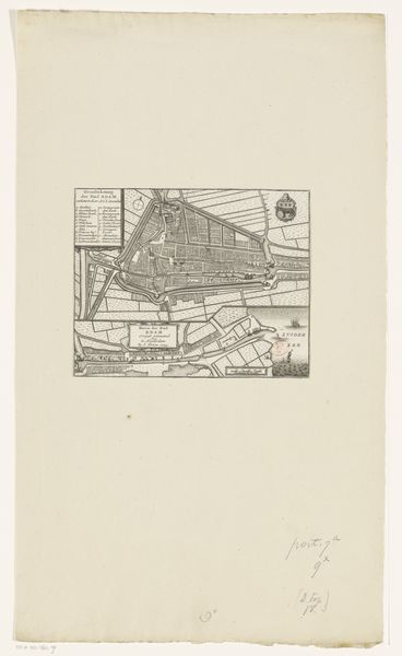
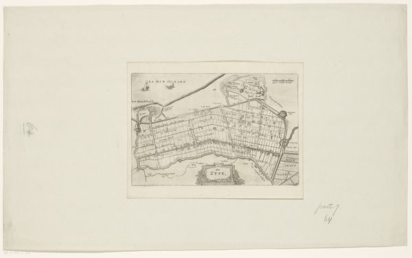
This is an anonymous print of Edam, made in Amsterdam in 1743. It's a bird's-eye view, meticulously detailing the town's layout with its network of canals and fortifications. These kinds of city plans were not just cartographic tools. They were also statements about civic pride and control. Edam, like other Dutch cities during the Golden Age, was a hub of trade and maritime power. The map emphasizes the relationship between the city's internal order and its connection to the wider world through its port, which is labeled "Haven der Stail". It would be worth considering how this image reflects the values of the Dutch Republic, such as its emphasis on commerce, engineering, and civic governance. By exploring the archives of the city, and the records of the mapmakers themselves, we can gain insight into the society that produced this image. Art becomes a window into the past, reflecting the priorities and aspirations of the people who created and used it.
Comments
No comments
Be the first to comment and join the conversation on the ultimate creative platform.
More like this