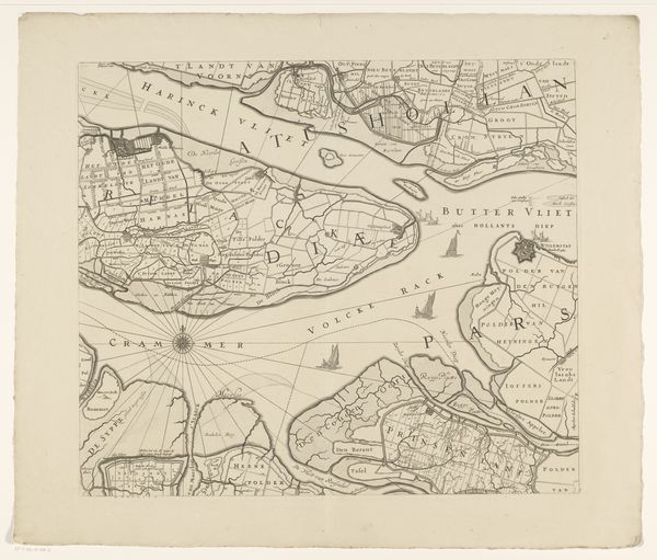
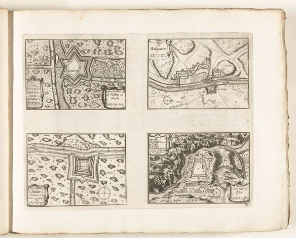
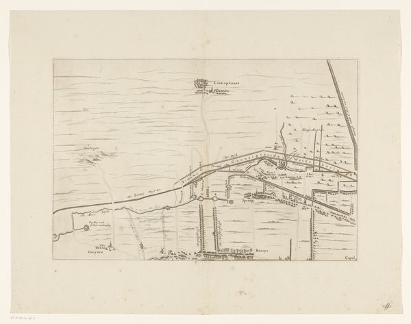
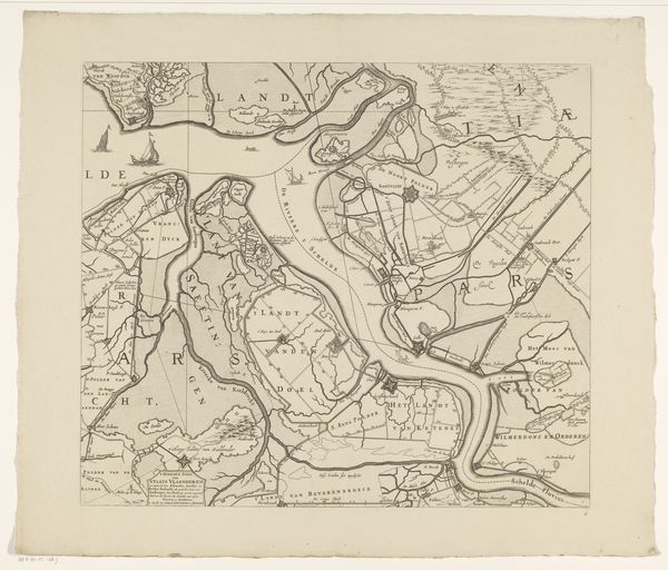
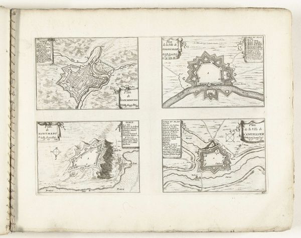
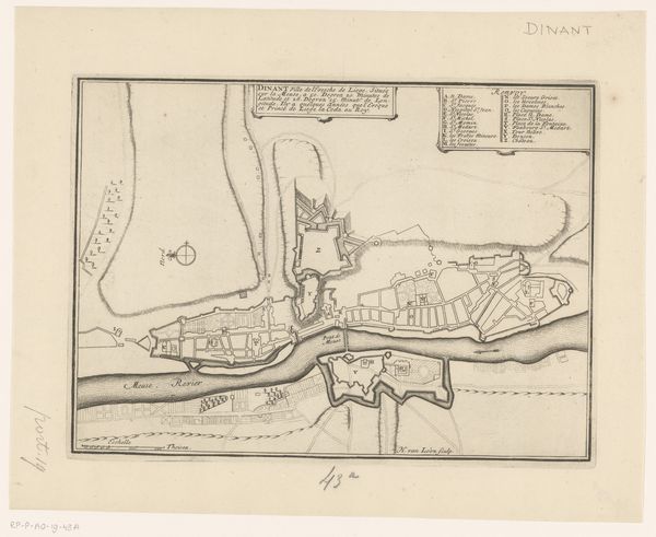
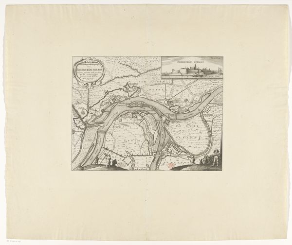
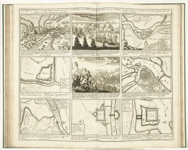
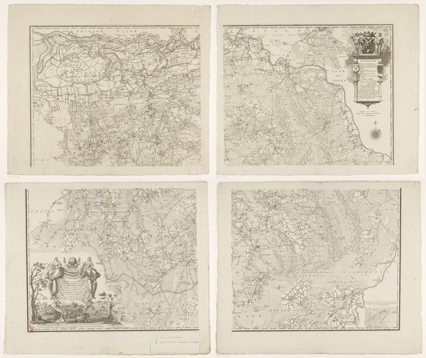
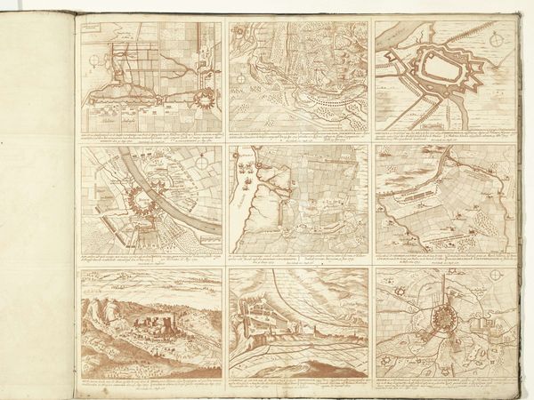
Kaart van het gebied tussen Den Bosch en Geertruidenberg met dijkdoorbraken, bestaande uit zes bladen before 1757
0:00
0:00
drawing, print, etching, ink
#
drawing
#
dutch-golden-age
# print
#
pen sketch
#
etching
#
landscape
#
ink
#
geometric
#
pen-ink sketch
#
sketchbook drawing
Dimensions: height 600 mm, width 1374 mm
Copyright: Rijks Museum: Open Domain
Curator: This delicate rendering, "Kaart van het gebied tussen Den Bosch en Geertruidenberg met dijkdoorbraken, bestaande uit zes bladen," created before 1757 by an anonymous artist, details a series of levee breaches through maps and descriptive texts. It's an etching with pen and ink on laid paper. Editor: It has the overall feel of a scientific document or field study, cool and factual. The precise lines, repeated geometric forms of waterways and plots, really drive home the controlled observational quality. Curator: Mapping has always held a certain symbolic power, establishing claims, marking territories, understanding natural resources... Editor: It presents this natural event, dike breaching, in such a mannered way that the sense of disruption is nearly eclipsed by its diagrammatic representation. It almost seems an inevitability with that north-pointing compass in the corner, doesn't it? Like the confluence of elements was a destined outcome. Curator: Absolutely, I read that compass rose as a symbol of navigation and orientation, a guiding star for rebuilding or future development. The dike breaches become not just a loss, but a point from which to recalibrate. Consider the human effort—the engineering, the political maneuvering, all tied to these waterways... Editor: I do find it fascinating how, though the focus seems purely documentary, the texture introduced by the etching and ink lends an emotional depth. This blend suggests the personal stake that even a detached observer might carry. The repetition of forms creates a strange visual harmony, doesn't it? Curator: Indeed, perhaps harmony achieved in knowing that humankind can and will learn to overcome disruptions caused by mother nature. It is after all, cultural memory in cartographic form. Editor: Seeing this layout allows us to contemplate the power of structure and observation to frame even chaotic events. It offers an intriguing viewpoint on how we visually make sense of our physical and historical landscapes.
Comments
No comments
Be the first to comment and join the conversation on the ultimate creative platform.
More like this