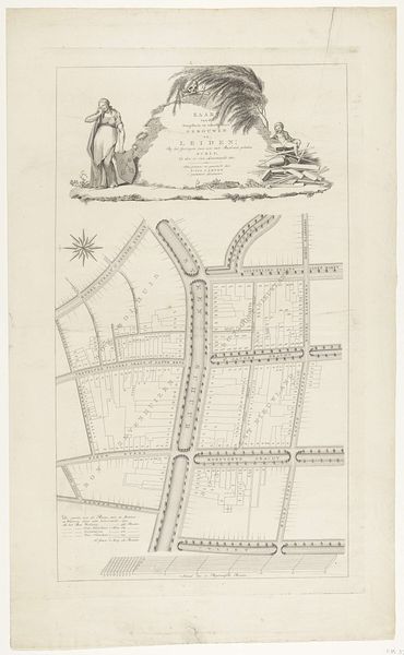
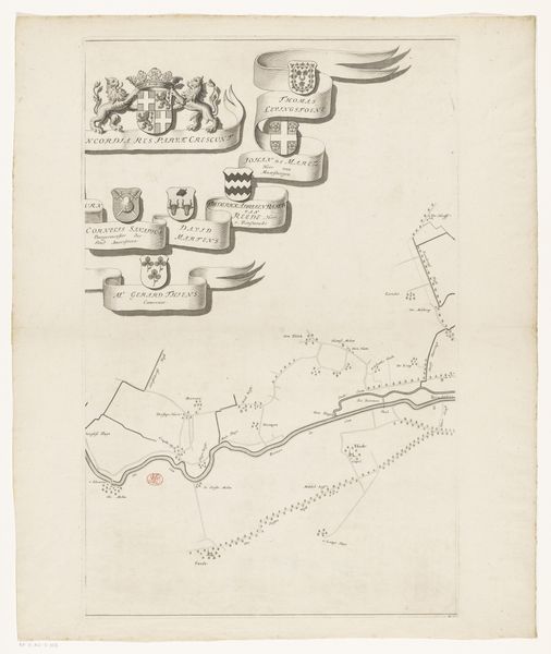
Kaart van het dijkgraafschap Drechterland (eerste deel van onder) after 1723
0:00
0:00
print, etching, engraving
# print
#
etching
#
landscape
#
etching
#
history-painting
#
engraving
Dimensions: height 668 mm, width 505 mm
Copyright: Rijks Museum: Open Domain
Curator: Welcome. Here we have Hendrik de Leth’s, "Kaart van het dijkgraafschap Drechterland (eerste deel van onder)", dating from after 1723. It's a detailed print using etching and engraving techniques, currently residing here at the Rijksmuseum. Editor: Well, it strikes me immediately as a rather melancholic composition. The contrast between the precise lines of the map and the mournful figure gives it a distinctive tension. The tonal range created through etching, and engraving is very evocative, if somewhat subdued, tonally. Curator: Yes, the print is rich in historical context. As the title suggests, this map documents the Drechterland region. This area was governed by a water board, and these entities were incredibly important for land management in the Netherlands. Water boards were also pivotal socio-political organizations. Editor: Formally, the map's structure creates a dynamic interplay. Note how de Leth balances geometric abstraction with figurative representation. The map itself is almost a form of abstract art when you remove the literal context; look at those radiating lines! But this interplay is not without conflict, tonally speaking. Curator: I agree. These maps were vital tools for governance and reflect Dutch ingenuity in hydraulic engineering. It is hard to forget that Holland transformed and created much of their country from below sea level. The figure almost certainly evokes loss and human struggle; perhaps it's tied to flooding events? The maps served not just to display knowledge of terrain but also became symbols of control. Editor: The print is not simply informative but symbolic, hinting at mortality with what looks like a gravestone right at the base of the mapped land! It seems the artist is pushing and pulling; death sits on top of the land that the local waterboard so carefully manages. A powerful formal statement! The linear perspective invites us to explore this controlled landscape in intimate detail. Curator: Ultimately, this print does more than show a place. It tells the story of power, the delicate balance between land and water, and the constant reminders of human limits when facing natural forces. These forces in turn play a very central political role throughout Dutch history. Editor: Indeed, it masterfully blends the objectivity of cartography with emotionally charged imagery. I found that exploration worthwhile. Curator: As did I. Thank you for sharing your formal analysis; it brought the etching to life.
Comments
No comments
Be the first to comment and join the conversation on the ultimate creative platform.
More like this