#
aged paper
#
light pencil work
#
pen sketch
#
pencil sketch
#
old engraving style
#
hand drawn type
#
personal sketchbook
#
pen-ink sketch
#
pen work
#
sketchbook drawing
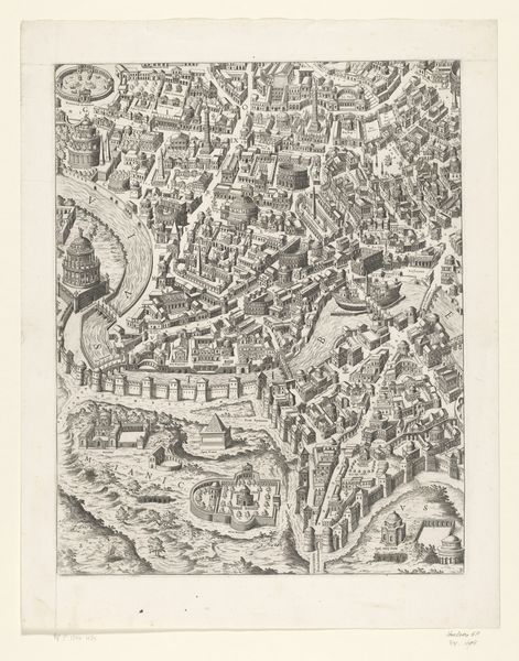
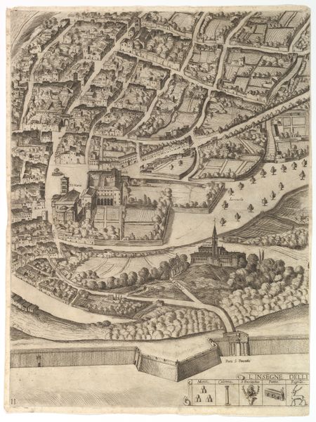
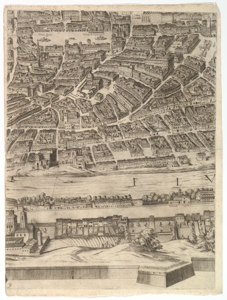
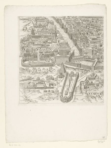
Dimensions: height 420 mm, width 367 mm
Copyright: Rijks Museum: Open Domain
This is an etched map, titled “Plattegrond van Rome in de Romeinse Tijd,” or “Map of Rome in Roman Times." We don't know who created this map, but it offers a glimpse into how the ancient city was imagined and represented. Maps are powerful tools that reflect not just geography, but also cultural values and power dynamics. Consider how this map presents Rome as an ordered, structured space with its walls and roads, a testament to Roman engineering and governance. But what’s missing? Who gets to be represented in this vision of Rome? Notice the absence of everyday life, the erasure of the voices and experiences of marginalized groups, such as enslaved people, women, and foreigners. This map serves as a reminder that historical narratives are always constructed, shaped by the perspectives and interests of those in power. What stories does this map tell, and whose stories are left untold?
Comments
No comments
Be the first to comment and join the conversation on the ultimate creative platform.
More like this