drawing, print, engraving
#
drawing
#
pen drawing
# print
#
pen illustration
#
pen sketch
#
old engraving style
#
perspective
#
ancient-mediterranean
#
pen-ink sketch
#
line
#
pen work
#
cityscape
#
engraving
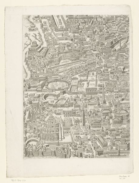
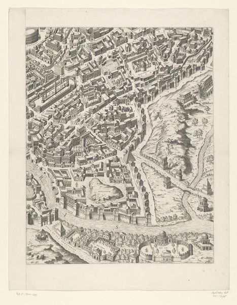
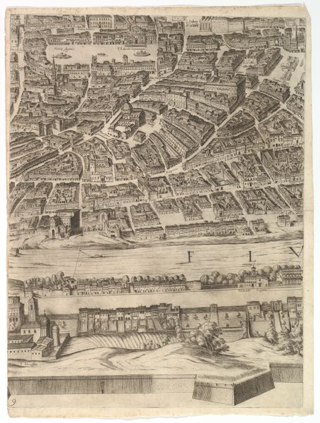
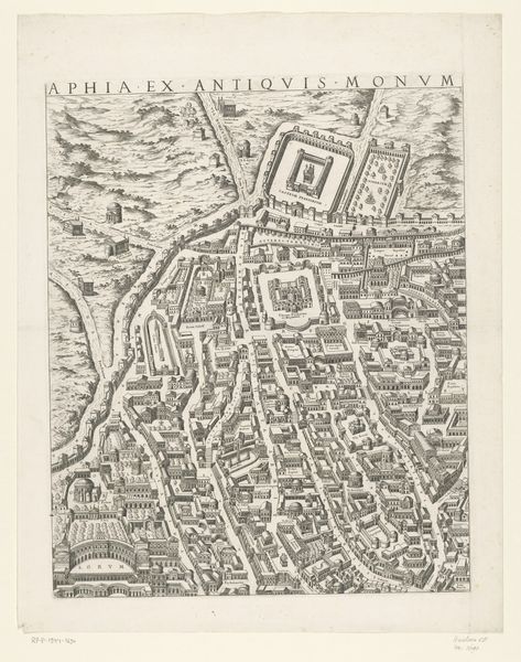
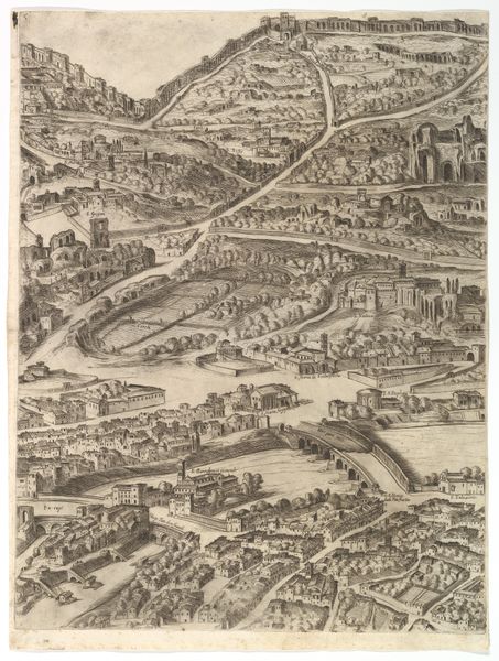
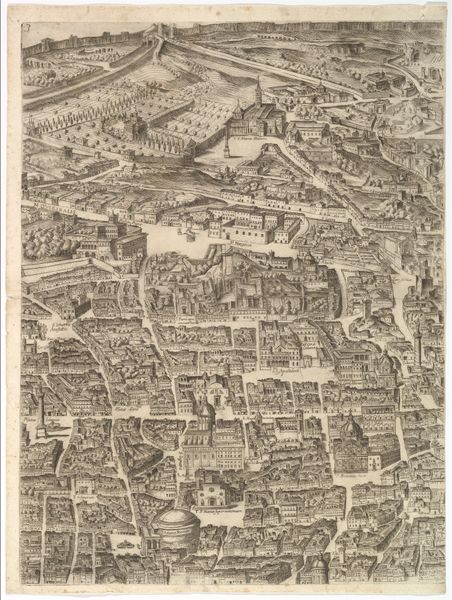
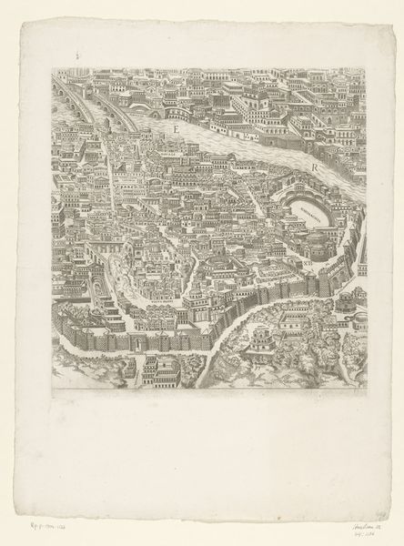
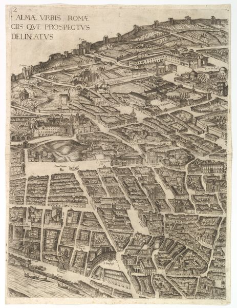
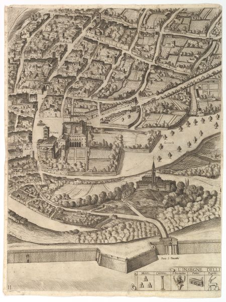
Dimensions: height 524 mm, width 416 mm
Copyright: Rijks Museum: Open Domain
Étienne Dupérac made this map of Rome in the Roman period using engraving, a printmaking technique that demands precision and control. Look closely, and you’ll notice the dense network of lines that define the city's ancient structures. The incised lines hold the ink, transferring an image of the ancient city onto paper. This process wasn't about spontaneous gesture, but rather about calculated and exacting labor, typical of printmaking in the Renaissance. The material—copper—is critical here: its hardness allowed for the detailed, durable matrix needed for multiple impressions. Each print pulled from the matrix could disseminate Dupérac's vision of Rome far and wide. Consider the social context: this wasn't just art, it was information. Maps like these were crucial for urban planning, military strategy, and asserting cultural dominance. The act of engraving and printing transformed Rome from a physical space to a portable, reproducible concept, thus democratizing access to the city’s image. Appreciating the craft, and the way it was made, helps us understand this image's historical significance.
Comments
No comments
Be the first to comment and join the conversation on the ultimate creative platform.
More like this