print, paper, engraving
#
baroque
# print
#
paper
#
geometric
#
line
#
cityscape
#
engraving
Dimensions: height 229 mm, width 289 mm
Copyright: Rijks Museum: Open Domain
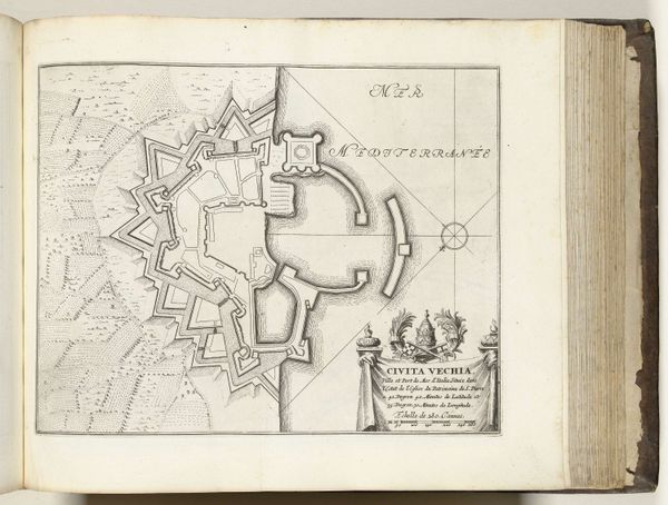
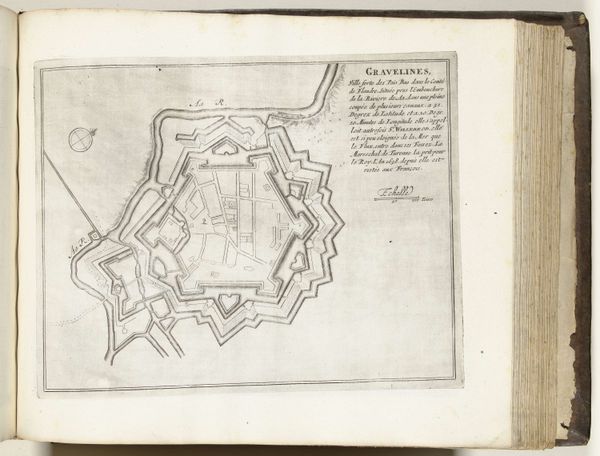
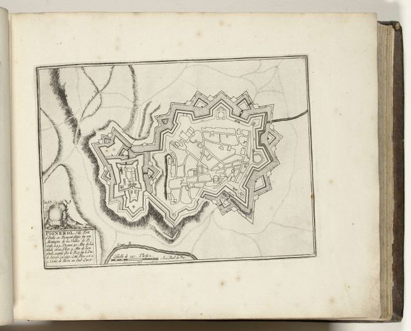
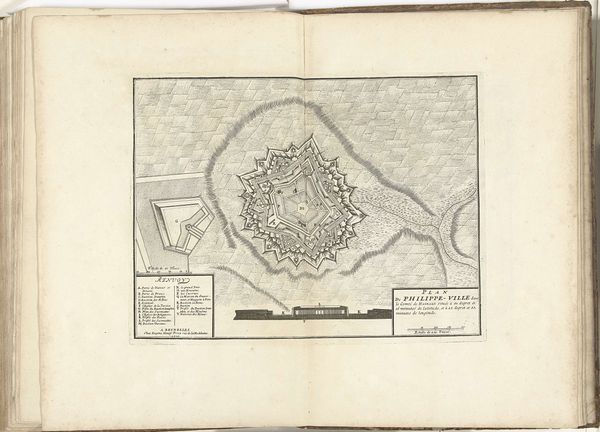
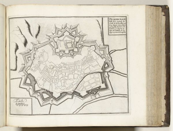
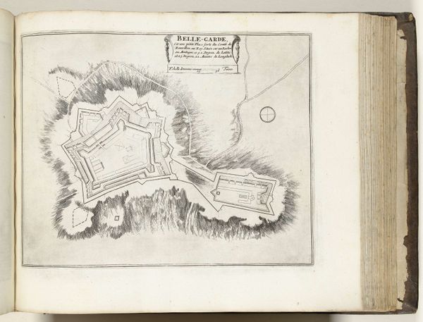
This is an anonymous print from around 1693 to 1696, showing a plan of Livorno in Italy. The print visualizes the city's structure as a nexus of trade, power, and control in the Mediterranean. The image presents Livorno's distinct architecture, characterized by its star-shaped fortifications. This design, a product of Renaissance military engineering, was intended to maximize defensive capabilities. Note the gridded street layout within the fortifications, a testament to urban planning ideals of the period. The sea, labeled as "Mer Mediterranée," emphasizes Livorno's role as a port city, a crucial node in the maritime networks of the time. Prints such as this one served multiple functions. They were tools for military strategy, instruments of civic pride, and commodities in their own right, circulated among elites and merchants. Examining such images alongside period documents—trade records, military reports, urban planning proposals—provides a richer understanding of the social, political, and economic forces that shaped the city.
Comments
No comments
Be the first to comment and join the conversation on the ultimate creative platform.
More like this